The land survey profession is a field which involves the science and art measurements and mapping of the Earth’s surface for various purposes including legal, construction, and planning. According to mnsurveying.com website, the occupation of land surveying dates back to ancient times! The Egyptians were the first civilizations to utilize private land surveying.
Surveying dates back to ancient civilizations like Egypt, Greece, and Rome, where it was used for land division and construction. Indeed, the history of the practice goes back even further than 3,000 years!
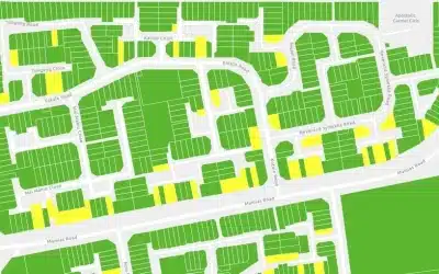
Some facts about land survey profession
The construction of landmarks like the Great Pyramids of Egypt and Stonehenge relied on early surveying techniques. The ancient surveyors used tools like plumb bobs and ropes to achieve astonishingly precise alignments still admired today. As well, the evidence of surveying activities dates back to ancient Egypt, where the annual flooding of the Nile River required re-establishment of boundary markers.
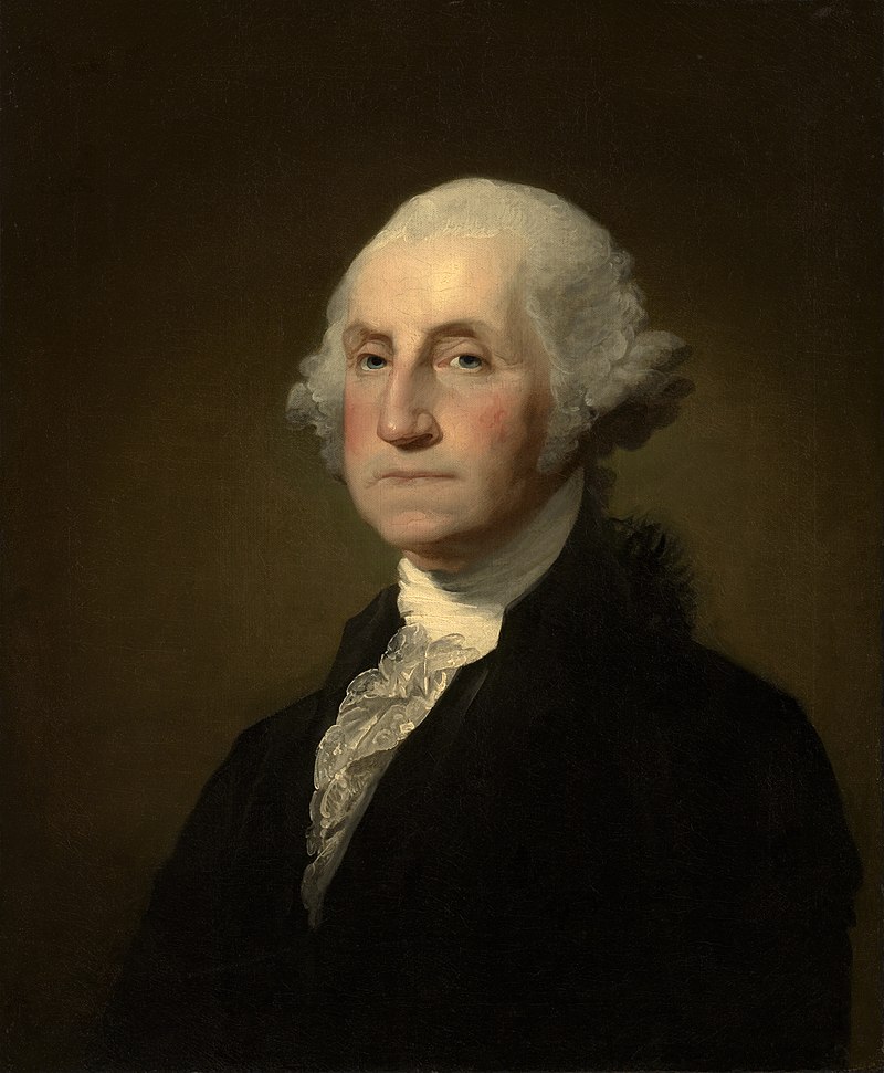
And did you know that, the first president of the USA, George Washington, worked as a land surveyor? Washington was largely self-taught in the art of surveying. He studied mathematics and surveying techniques on his own, using books and practical experience to hone his skills. His first official survey was done on a 400-acre parcel of land for a neighbor, which he completed in 1748. This marked the beginning of his professional surveying career. Through his work as a land surveyor, Washington gained extensive knowledge of the Virginia frontier, which he used to acquire large tracts of land for himself. By the time of his death, he owned over 50,000 acres of land!
Cap. James Cook (1728–1779) was a British explorer, navigator and cartographer who made significant contributions to the exploration and mapping of the Pacific Ocean, Australia, New Zealand, and other regions. As an explorer, he is also known for traveling to all of Earth’s major continents, was also a professional land surveyor. During the Seven Years’ War (1756–1763), Cook played a crucial role in surveying and mapping the coast of Newfoundland and the Saint Lawrence River. His accurate charts were instrumental in the British capture of Quebec in 1759.
The Berlin Conference of 1884–1885, also known as the Congo Conference or West Africa Conference, was a pivotal event in the history of European colonialism in Africa. It was convened to regulate European colonization and trade in Africa during the “Scramble for Africa,” a period of intense competition among European powers to claim African territories. During the conference, the colonial powers divided Africa into spheres of influence based on maps and surveys, disregarding existing ethnic and cultural boundaries. This caused and continues to cause many conflicts thus impacting on the political stability and inter-ethnic relations.

The boundaries of countries, cities, and private properties owe their existence to land surveying. For instance, the Mason-Dixon Line (an imaginary boundary or demarcation line that separates four (4) USA states namely Pennsylvania, Maryland, Delaware, and West Virginia), surveyed in the 1760s, resolved the colonial land disputes and later became a symbolic boundary in the USA history. The Mason–Dixon line. It was surveyed between 1763 and 1767 by Charles Mason and Jeremiah Dixon as part of the resolution of a border dispute involving Maryland, Pennsylvania, and Delaware in USA.
Survey work in Kenya started around 1902 with establishment of Survey of Kenya a year later. The Crown Lands Ordinance was also enacted, formalizing land ownership and administration. This required accurate surveys to allocate land to settlers and establish boundaries. In 1920s to 1930s the colonial government intensified land surveys to support the growing settler economy and infrastructure development, such as railways and roads. It is not until 1948 that a department to offer such service was established to support the Government’s policy of maximum exploitation of its land & natural resources.
After Kenya gained independence, land surveying continued to play a critical role in land reform, redistribution, and registration efforts, such as the Swynnerton Plan of the 1950s, which aimed to consolidate and register land holdings. The plan aimed to consolidate and register individual land titles for Africans, but it did not address the fundamental issue of land inequality or return alienated lands to their original owners.
The alienation of land through surveys and its allocation to settlers was a major cause of the Mau Mau rebellion (1952–1960). Many Kikuyu people were forced off their ancestral lands into reserves or as laborers on settler farms. This fueled insurgency. After Kenya gained independence in 1963, the political elites also acquired large parcels, leaving many landless. Presently, the land survey in Kenya is governed by the Survey Act Cap 299.
Ad: Explore the world with Expedia

Flewflew: AI solutions provider in Africa

OrbiCollect: Mobile mapping made easier!

NSE Stock Market: Buy & Sell Shares