Flight Planning
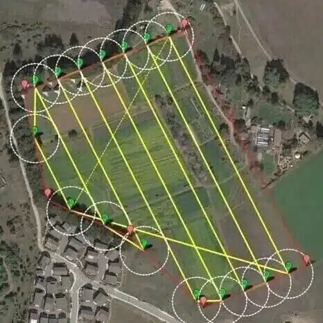
1: Selecting area to be mapped and can be done using eMotion and DroneDeploy software.
Drone Survey
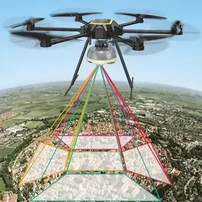
2: A drone is launched after flight planning to fly and capture the images within AoI defined.
Data Processing
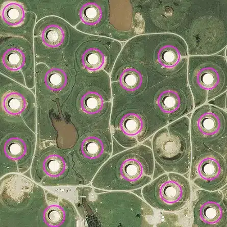
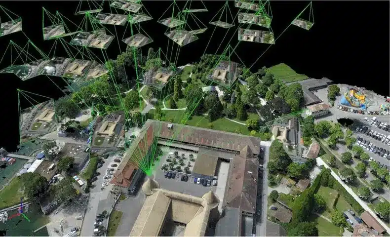
3: Employs Pix4D, DroneDeploy & Agisoft among other software to process drone images.
Drones
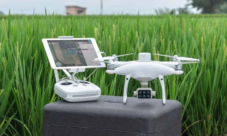
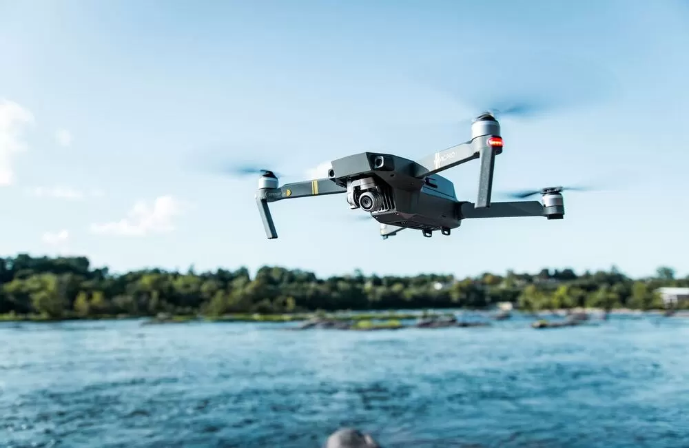
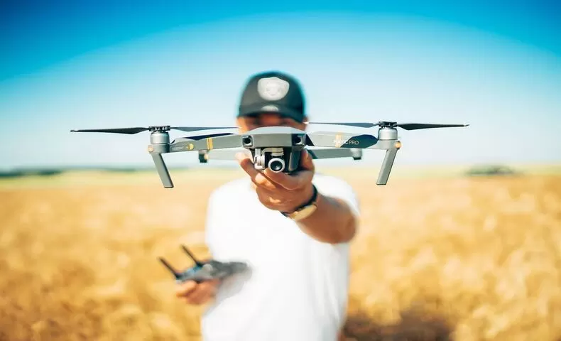
Drones have become proven technology in the sphere of aerial mapping and survey. We use various drones for our survey and mapping:
Software
Our drone image processing workflows leverages on proprietary and open source software solutions in the market such as:
- Pix4D Mapper & Cloud
- DroneDeploy Cloud
- Agisoft Metashape
- Web OpenDroneMap etc..
Pilots
We are endowed with KCAA licensed UAV and drone pilots who boost with several drone flight hours in various projects we’ve executed.
- Multi-rotor licensed pilots
- VTOL licensed pilots
- Fixed wing licensed pilots
- Specialized drone pilots
Drone technology pace-setters in Africa... the sky is not the limit!
Need more details or a demo? get in touch!
High performance RGB, thermal, multispectral, panchromatic drone sensors designed for optimal spectral and spatial resolution.
