Quadcopter
Fixed-wing
VTOL
SenseFly Drones
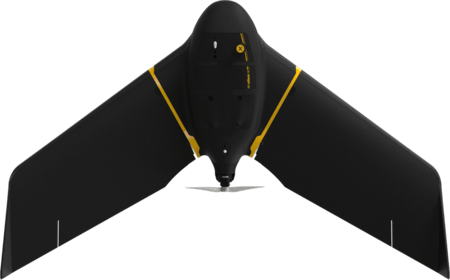
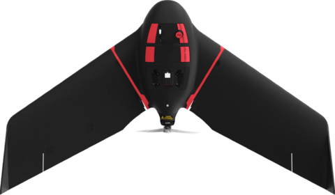
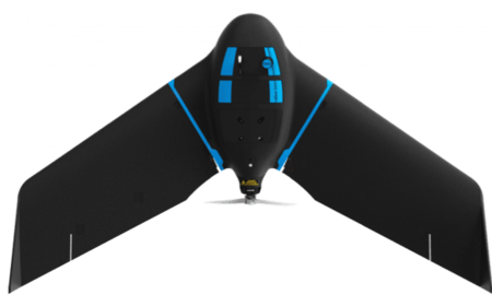
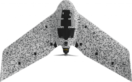
senseFly eBee Drones
At senseFly, they develop and produce aerial imaging drones for professional applications. Safe, ultra-light and easy to use, these highly automated data collection tools are employed by customers around the world in fields such as construction, surveying, mapping, agriculture, GIS/RS, industrial inspection, mining, humanitarian, conservation, research and education.
SenseFly offers drones for Surveying, Mapping, Mining, Construction, Agriculture and Engineering: Fixed Wing drone. senseFly was founded in 2009 by a team of robotics researchers and quickly became the industry leader in mapping drones. Today we continue to lead the way in developing situationally aware systems that help professionals make better decisions.
eBee Drones
senseFly manufactures drones, sensors and software for automated aerial mapping geospatial intelligence
High precision fixed-wing drones with powerful eMotion software and multi- spectral sensors
1. eMotion software
Flight Planning Software for eBee Drones.
This easy-to-use desktop ground station allows you to intuitively plan your missions, interact with your drones during the flight and prepare the data for post-process.
2. Altum-PT
Optimized 3-in-1 Sensor for the Advanced Remote Sensing and Agricultural Research.
Seamlessly integrates a 12 MP high-resolution panchromatic sensor, a new thermal sensor that provides twice the ground resolution of the previous Altum, and five discrete spectral bands.
3. RedEdge-P
High-resolution Multispectral and RGB Sensor.
RedEdge-P features a high-resolution panchromatic band for pan-sharpened output resolutions of 2 cm / 0.8 in at 60 m / 200 ft. Its five narrow multi- spectral bands with scientific-grade filters make it the perfect camera ideal for calculating multiple vegetation indices and composites.
Need more details or a demo? get in touch!
High performance RGB, thermal, multispectral, panchromatic drone sensors designed for optimal spectral and spatial resolution.


