High resolution
Multispectral
Cost effective
Satellite images
Get high resolution and multispectral satellite images
At Orbital, we offer high resolution satellite images and associated products such the Digital Elevation Models (DEMs), Digital Surface Models (DSMs) and Digital Terrain Models (DTMs). We also do provide technical support and training as after services. Satellite images have many uses and applications in: construction, meteorology, oceanography, urban and regional planning; agriculture, utility, forestry, geology, cartography, education, intelligence as well as warfare.
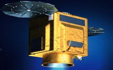
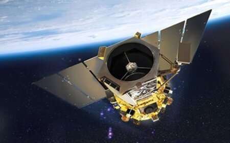
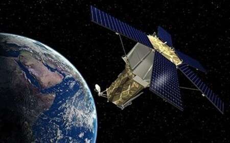
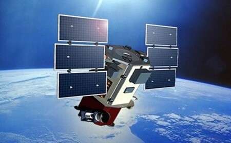
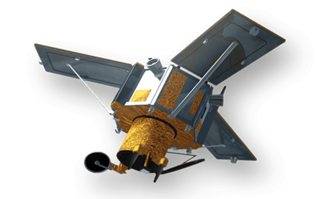
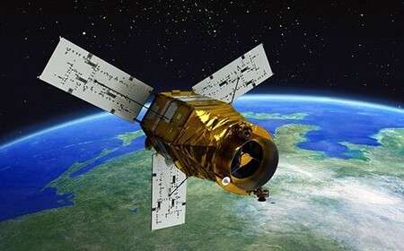
The products and services from the following satellite sensors are available at Orbital: Pléiades 1 (1A, 1B); SPOT-5; SPOT 6 and 7; KOMPSAT-3; KOMPSAT-3A; KOMPSAT-2; Aster; SuperView-1; GeoEye; RapidEye and Maxar among others. Additionally, There are five types of resolution when analysing satellite imagery in remote sensing: spatial, spectral, temporal, radiometric and geometric. The resolution of satellite images varies based on instrument used and satellite's orbit altitude.
Satellite Sensors
Commercial earth observation satellite sensors provide high-resolution imagery data used in many industry applications.
Ordering process
We have designed, developed and deployed an easy to use satellite image ordering process using the following steps.
-
1
-
2
Online Search
The search of images using criteria (% cloud cover, acquisition date, sensor etc.) is done.
Read more -
3
Make payment
Upon satisfaction on the search results and invoice amount, the client makes payment.
Read more -
4
Delivery
Once payment is received, the images are delivered via FTP download link or in CD to client.
Read more
Need more details or a demo? get in touch!
High resolution and multi-spectral satellite image products are cost effective and ideal for all geospatial professionals.
