Reliable
Cost effective
Location
Geo-intelligence
The reliable GeoAI solutions at friendly prices
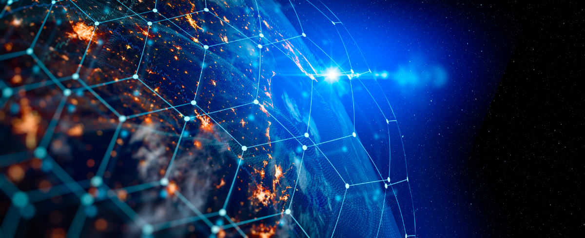
Geospatial Artificial Intelligence (Geo-AI) which is a new form of machine learning (core part of AI) based on a geographic component i.e. in mapping, map intepretation urban traffic and BIG data analysis; and feature extration from satellite/drone images through Deep Learning (DL). GeoAI also entails analysis of images and data associated with a particular location.
A large percentage of the data we use today is linked to geo-locations. Hence, GeoAI is practical knowledge that requires not only displaying location data but also a deep understanding of where things are, why they are and what is likely to happen in a certain location. By gathering spatial data and using critical spatial analytics, we can solve the real-world problems.
Explore & exploit power of GeoAI
Geo-intelligence and location analytics have myriad of industry applications and uses
1). Precision location data
From weather, crime, retail purchases, banking transactions, and social media information, location plays an important role. Precise location data is valuable and being produced at a staggering rate. Location intelligence helps businesses make smarter decisions about network optimization, resource allocation, routing, risk management, targeted marketing, and site selection.
2). Virtual and augmented reality
Geospatial intelligence services can also create realistic simulations of specific locations entailing the structures, elevation model, and terrain. Information e.g. traffic, surveillance data, sensor readings, and disaster damages provide an opportunity to visualize valuable data to aid decision-makers.
3). Advanced data analytics
Geospatial intelligence data analytics rely on specific identifiers like zip codes and geographic coordinates to create data visualizations and geographical models for accurate trend forecasts. A geospatial intelligence imagery analyst assesses geo-referenced images to evaluate possible risks.
4.) Remotely sensed information
The remotely sensed data is used in various industries for various purposes. For example, corporations monitor clouds to forecast the weather and monitor urban growth. Sentinel 2, which produces satellite imagery to monitor crop growth and forests, is another excellent example.
5.) Building and land development
Geospatial intelligence is used in the land development industry to model the spatial distribution of the atmosphere, hydrological network, and mobile sources in soil. Based on this analysis, the system chooses the best land-use solution with minimum environmental impact.
Need more details on GeoAI? get in touch!
Utilize the power of GeoAI to analyse and discover the hidden information in geospatial data to make realistic and sound decisons
