The cutting-edge
State-of-the-art
Modern technology
Geospatial services
Orbital Services
Orbital offers wide range of cost effective products and services employing modern geospatial technology.
Land/Aerial/Hydro Surveys
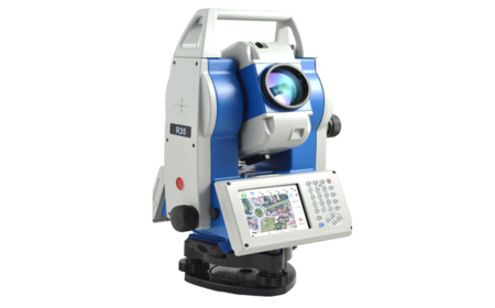
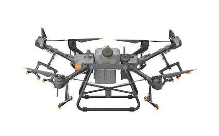
Land, topo surveys; aerial and drone mapping; bathymetric/hydrographic survey services.
Indoor Mapping
We offer CORS, geoportals, echosounders, the GIS & BIM as well as customized geo-solutions.
GIS & BIM Solutions
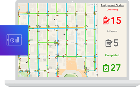
These include development of land information systems, GIS apps development etc.
Spatial Planning
We use open source tools to develop & deploy robust mobile and web GIS solutions.
Land Information Systems
We offer myriad Geospatial training courses in drone survey, mapping, land survey etc.
3D LiDAR Mapping
Having executed several projects in Kenya and Africa, we offer consultancy in geo realm.
Need more details or a quote? get in touch!
Orbital ranks among the best companies in Africa offering reliable geo-products which are user friendly, flexible and available at competitive price in the market.

