2cm resolution
Multispectral
Availble 24/7
Drone images
Get 2cm spatial resolution UAV and Drone images
Drone images are products of drone mapping and aerial photogrammetry. The images need enough forward and side overlaps so that the photogrammetry software can identify common features between the images i.e. tie points that help tie the separate images together. At Orbital, we offer 10 cm spatial resolution drone images (orthomosaics) and associated products such the Digital Elevation Models (DEMs), The Digital Surface and Digital Terrain Models (DSMs and DTMs).
We also provide technical support and wide range of drone training and after sale services. Apart from drone mapping services and solutions, we offer wide range of drone imagery products (LiDAR, thermal images, point cloud data etc) and solutions at pocket friendly fee to our clients in Kenya and Africa at large. We also offer a customized training course on aerial and drone/UAV mapping and image processing. View our course catalogue at: https://catalogue.orbital.co.ke

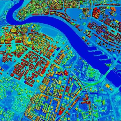
Digital elevation models & Digital terrain models are ideal in modeling urban flooding & other disasters.

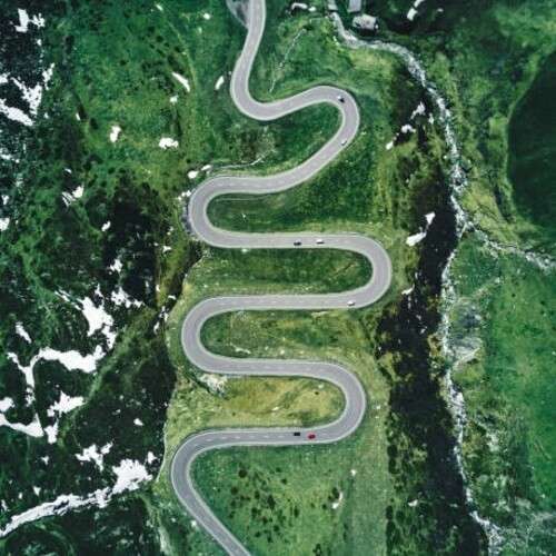
An orthomosaic obtained from several overlapping drone images can be used to design highways etc.

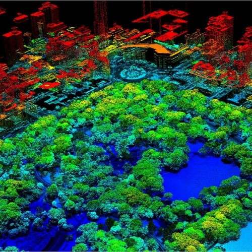
The 3D feature extraction e.g. buildings, trees, rivers etc. from accurate digital surface models (DSMs).
Ordering process
We have designed, developed and deployed an easy to use aerial image ordering process using the following steps.
-
1
-
2
Online search
The search of images using criteria (% cloud cover, acquisition date, sensor etc.) is done.
Read more -
3
Make payment
Upon satisfaction on the search results and invoice amount, the client makes payment.
Read more -
4
Delivery done
Once payment is received, the images are delivered via FTP download link or in CD to client.
Read more
Need more details or a demo? get in touch!
2 cm spatial resolution drone imagery products are cost effective and ideal for all geospatial professionals.