We design
Produce
Deliver
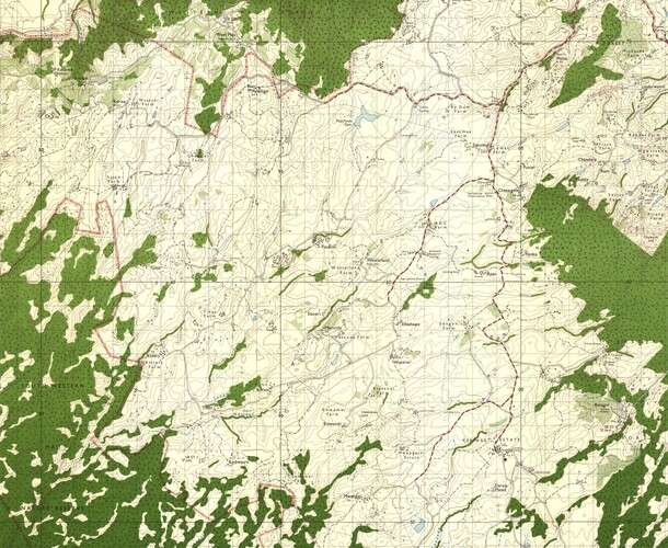
Topographical maps
We offer up to date Topographical maps
Scales: 1:5,000 or 1:10,000 or 1:50,000
We offer highly imaginative and innovative customized map design and production services to wide range of clients in Kenya and Africa region at large. We serve various countries such as Uganda, Tanzania, Somalia, Ethiopia, Rwanda, DRC, South Sudan and many more.
Our high quality maps can be utilized for the websites, publications, educational & for promotional purposes. We design and produce the following classes of maps: (1) Topo maps; (2) Thematic maps; (3) Soil/geological maps; (4) Tourist maps; (5) County and town maps etc.
Sample Topo maps
We have produced topographical maps covering Kenya at a scale of 1:10,000 and 1:50,000. The maps are available in hardcopy and softcopy.
1. Mount Elgon
The sample topographical map of Mount Elgon can be accessed here: 1:50,000 Topo Map of Mt. Elgon
2. Lake Victoria
The sample topographical map of Lake Victoria can be accessed here: A0 Topo Map of L. Victoria
3. Meru Town
The sample topographical map of Meru town can be accessed here: A0 Topo Map of Meru Town
4. Menengai Crater
The sample topographical map of Menengai Crater can be accessed here: A0 Topo Map of Menengai Crater
Need more details or sample? get in touch!
Accurate. Up to date. Cost effective. Topographical maps are used by surveyors, engineers, geospatial experts and the general public.

