Drone Mapping &
Photogrammetry software
Pix4D software lines operate on desktop, cloud, and mobile platforms. The Pix4D suite of products include the following: Pix4Dmapper, Pix4Dfields, Pix4Dcloud, Pix4Dinspect, Pix4Dscan, Pix4Dreact, Pix4Dsurvey, Pix4Dcatch, Pix4Dmatic, Pix4Dcapture, & Pix4Dengine.
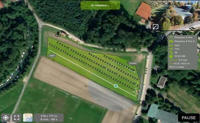
Pix4D is the only drone mapping & photogrammetry software tools with a flight app, desktop, and cloud platforms.
Make better decisions with accurate 3D maps and models
A unique photogrammetry software suite for mobile and drone mapping. The Pix4D comes with online platform for ground and drone mapping, progress tracking, and site documentation. Pix4D has many industry-specific applications.
Read more
Measure from images
The only drone mapping & photogrammetry software tools with a flight app, desktop, and cloud platforms
READ MORE
Pix4D is trusted by many clients and sponsors worldwide
Need more details or demo? get in touch!
Pix4D is a world leading photogrammetry and drone mapping software with mobile, desktop and cloud platforms.


