A complete image processing and analysis software
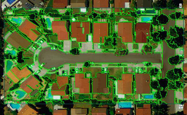
ENVI® geospatial software is scientifically proven, easy to use and tightly integrated with Esri’s ArcGIS platform. ENVI image analysis software has remained on the cutting edge of innovation for more than three decades due in part to its support of all types of data including multispectral, hyperspectral, thermal, LiDAR and SAR. ENVI makes deep learning accessible to people through intuitive tools and workflows that don’t require programming. ENVI geospatial image analysis can also be customized through an API and visual programming environment to meet specific project requirements.
ENVI is intuitive with user friendly interface
ENVI is beneficial for everyone from entry level analysts to the domain experts. It contains easy-to-use tools that don’t require advanced training in remote sensing to get actionable results.
READ MORE >>
ENVI has a deep learning module for automated feature extraction
Need more details or demo? get in touch!
ENVI software provides cutting-edge yet accessible tools designed for both novice and experienced geospatial professionals.

