Fully automated
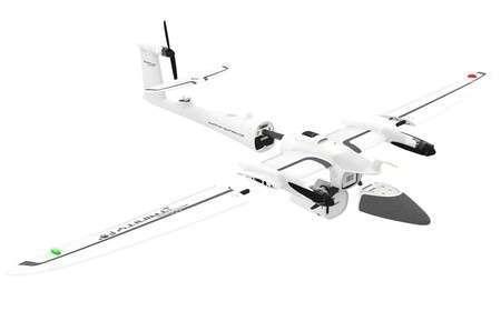
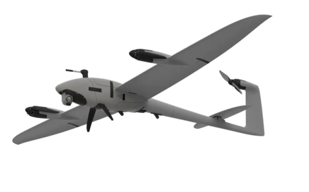
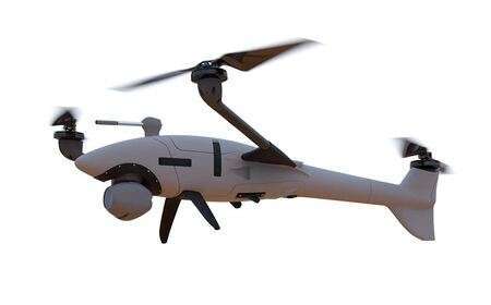
eVTOL fixed-wing
90 mins flight-time
Multi-purpose
Quantum Drones
Quantum drones: Robust aerial data intelligence.
The vision of Quantum systems is to become the global leader in providing aerial data for decision making by the use of their robust UAVs/drones. They serve the geospatial, construction, intelligence, surveillance and reconnaissance sectors, selling into multiple industries and to governments agencies around the world.
In line with their mission, Quantum solves highly complex and challenging problems for their customers with easy-to-use, highly automated, high-tech drone systems. They strive for continuous simplification in the use of their products so that the customers can achieve their goals more efficiently and expeditiously.
eVTOL UAS with extended flight time. More data in shorter time than it was possible with conventional systems!
Features in detail
The integration of high value drone sensors with powerful optics while keeping size and weight at a minimum hence state of the art stability. Result? unmatched robustness!
1.) Innovative drone technology
Our eVTOL Fixed-Wing UAVs combine the advantages of helicopters and airplanes. Vertical take-off and landing capability and sophisticated aerodynamics in perfect symbiosis – in one product!
2.) Highly automated UAVs
The drones are easy and safe to operate. The development of all function and mission critical hard- and software components happens in-house. The workflow design of the comprehensive systems allows for high user friendliness and low training efforts.
3.) Compelling Return on Investment
Quantum-Systems eVTOL UAVs are ideal for flying over large areas or long corridors. Mission efficiency and price attractiveness are integral parts of the development work to achieve unbeatable ROIs.
4.) High precision sensors
Wide range of high precision sensors, e.g. dual RGB & NDVI payload and 42 MP HighRes RGB. As well, it’s integrated with PPK including Quantum-System iBase ground reference station.
5.) Telemetry with up to 7 km
Designed with a 2.4 GHz telemetry with up to 7 km command and control range.
Drone companies
The use of drones/UAVs and aerial mapping services are increasingly becoming the go-to solution for many Geo professionals. Orbital Africa Ltd is one of the companies…
Drone training
This course will give you the knowledge to start performing drone based surveying jobs. Visual images, maps & models are the most common deliverables. Drone training is vital…
Need more details or a demo? get in touch!
Quantum offers robust performance RGB, thermal, multispectral and LiDAR drones and camera sensors designed for various industry applications.


