Flight Planning

Flight Planning

1: Selecting area to be mapped and can be done using eMotion and DroneDeploy software.

Drone Survey in Kenya

Drone Survey

2: A drone is launched after flight planning to fly and capture the images within AoI defined.

Drone Data Processing

Data Processing

3: Employs Pix4D, DroneDeploy & Agisoft among other software to process drone images.
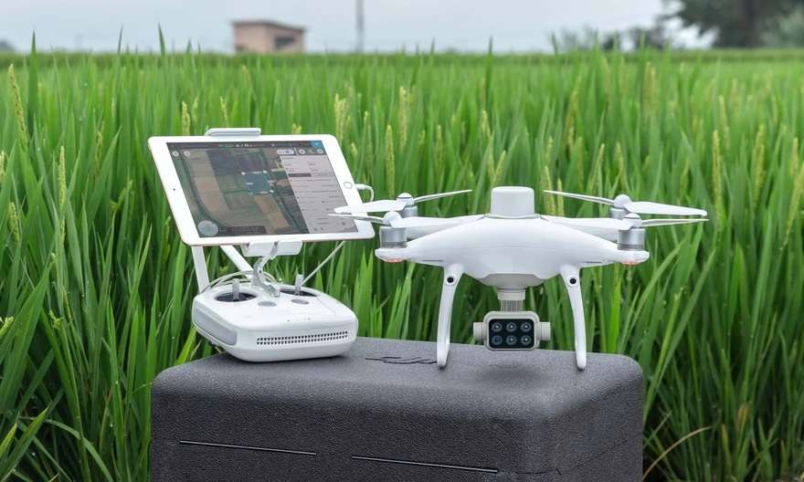
Pilot
Plan
Fly
Process
Present
Act

Drones

Drones have become proven technology in the sphere of aerial mapping and survey. We use various drones for our survey and mapping:

  • Drones
  • Pix4D Mapper Software

    Software

    Our drone image processing workflows leverages on proprietary and open source software solutions in the market such as:

    • Pix4D Mapper & Cloud
    • DroneDeploy Cloud
    • Agisoft Metashape
    • Web OpenDroneMap etc..

  • Software
  • Orbital Drone Pilot

    Pilots

    We are endowed with KCAA licensed UAV and drone pilots who boost with several drone flight hours in various projects we’ve executed.

    • Multi-rotor licensed pilots
    • VTOL licensed pilots
    • Fixed wing licensed pilots
    • Specialized drone pilots

  • Pilots
    • Get right drone

      Every successful drone assignment require a prudent choice of the right drone. You should ask yourself: “Do I require a multi-rotor, a fixed-wing or a VTOL?”

      Flight planning

      Many drone flight planning software exist in the UAV market. Different drones are compatible with specific software e.g. DroneDeploy, Pix4D field etc.

      KCAA licensed pilots

      In Kenya, the enacted UAS Act of 2020 requires that before flying a drone within the Kenyan airspace, one must be a trained and licensed pilot by KCAA.

      Processing software

      We utilise various drone image processing software to perform image analysis. We use DroneDeploy, Pix4D, Agisoft and WebODM among others.

      Drone deliverables

      After drone image processing, some of the outputs include Orthomosaics, point clouds, digital elevation, terrain and surface models (DEM/DTM/DSM) etc.

      +15 years' experience

      At Orbital, we boost with over 15+ years of experience in aerial and drone mapping industry. Just get in touch with us at: [email protected] 

      Drones in Africa

      Drone technology pace-setters in Africa... the sky is not the limit!

      Projects execution

      92%

      Customer satisfaction

      86%

      Flight performance

      98%

      Need more details or a demo? get in touch!

      High performance RGB, thermal, multispectral, panchromatic drone sensors designed for optimal spectral and spatial resolution.