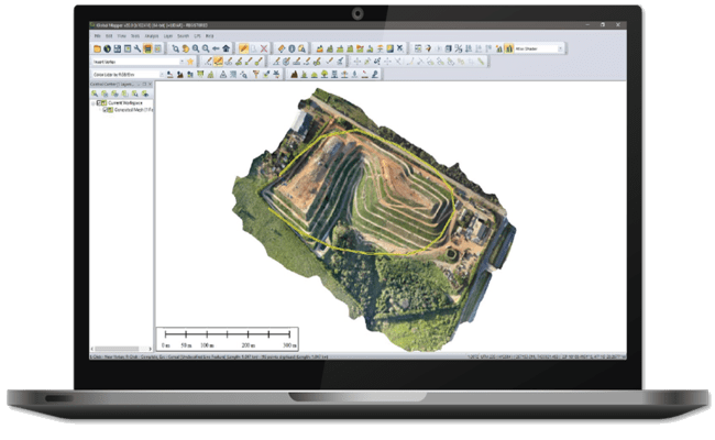
Cutting-edge GIS software with many data formats
Global Mapper® is a cutting-edge GIS software that provides both novice and experienced geospatial professionals with a comprehensive array of spatial data processing tools, with access to an unparalleled variety of data formats. Global Mapper’s intuitive user interface and logical layout help smooth the learning curve and ensure that users will be up-and-running in no time. Organizations of any size quickly see a significant return on investment brought about by efficient data processing, accurate map creation, and optimized spatial data management.
Myriad of features and analysis tools
Global Mapper comes with myriad of features and tools such as raster calculator, image rectification and LiDAR data processing
READ MORE >>
Global Mapper is truly adored by many GIS enthusiasts globally
Need more details or demo? get in touch!
Global Mapper provides cutting-edge yet accessible tools designed for both novice and experienced geospatial professionals.


