The list of best top 10 Geospatial companies specializing on GIS, mapping, remote sensing and land survey consulting companies has been populated. Kenya boasts a dynamic geospatial industry, with several companies leading in various services such as GIS, remote sensing, land surveying and mapping. Here are some of the top geospatial companies in Kenya:
1. Orbital Africa
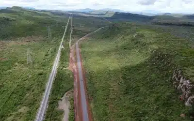
Established in 2009, Orbital is an award-winning and best top-rated Geospatial company based in Kenya and Africa’s leading geosolutions provider offering wide range of services and solutions in GIS, GPS, GPR, GNSS, mapping, topo surveys, drone mapping, 3D laser scanning, Underground utility surveys, LiDAR mapping and GIS training.
With over 15+ years of experience in Geospatial realm, Orbital began operations in June 2009 and was incorporated in August 2011. Orbital provides the most stable, cost-effective, reliable and robust Geospatial solutions and services across Africa. It has presence in Kampala (Uganda), Dar es Salaam (Tanzania), Kigali (Rwanda), Mogadishu (Somalia), Juba (South Sudan) and Lilongwe (Malawi).

The company has executed numerous projects across Africa, supporting government agencies, NGOs, utility industries and private enterprises in geospatial analysis, underground utility scanning, and real-time data visualization. Orbital’s expertise in GIS-based web and mobile applications ensures that clients can efficiently manage and interpret spatial data for sustainable development initiatives and projects. Orbital continues to play a vital role in advancing geospatial technology adoption across Africa.
Phone No. (+254) 719 672296 E-mail Address: [email protected] Website: www.orbital.co.ke Position/Rank: 12. Advanced Geospatial Solutions (AGS)
AGS provides comprehensive geospatial and IT solutions, including software development, GIS and remote sensing, spatial analysis, land and engineering surveys, and environmental assessments. The company offers a wide range of services, including topographical mapping, environmental monitoring, hydrological modeling, and geospatial software development.
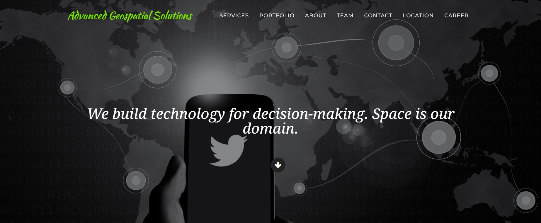
AGS serves various industries such as urban planning, agriculture, infrastructure, and natural resource management, providing cutting-edge geospatial technologies to enhance decision-making and efficiency. With a strong focus on innovation and precision, AGS integrates modern tools like drone mapping, LiDAR, and real-time GIS applications to deliver accurate and reliable data solutions.
Phone No. (+254) 721 770 339 E-mail Address: [email protected] Website: www.ags.co.ke Position/Rank: 23. Geospatial Research International (GRI)
GRI is a global consultancy firm focused on applying geospatial technologies to natural resource management and environmental conservation. GRI specializes in the application of Geographic Information Systems (GIS), Remote Sensing, and spatial data analysis for environmental and natural resource management.
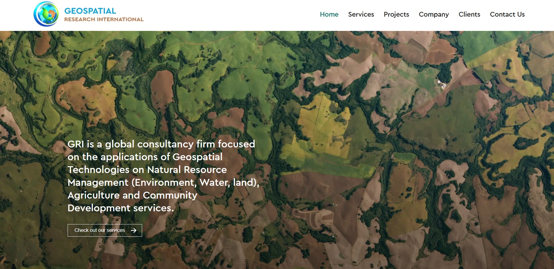
The company provides expert solutions in land use planning, climate change modeling, disaster risk assessment, and hydrological studies. With a strong emphasis on research and innovation, GRI collaborates with government agencies, non-profits, and private enterprises to develop customized geospatial solutions tailored to specific project needs.
Phone No. (+254) 722 910 348 E-mail Address: [email protected] Website: www.georesearch.co.ke Position/Rank: 34. Regional Centre (RCMRD)
Regional Centre for Mapping of Resources for Development (RCMRD) is a premier centre of excellence in provision of geo-information, allied technologies for sustainable development in the member States & other stakeholders.
RCMRD is an inter-governmental organization and currently has 20 Contracting Member States in the Eastern and Southern Africa Regions; Botswana, Burundi, Comoros, Eswatini, Ethiopia, Kenya, Lesotho, Malawi, Mauritius, Namibia, Rwanda, Seychelles, Somali, South Africa, South Sudan, Sudan, Tanzania, Uganda, Zambia and Zimbabwe.
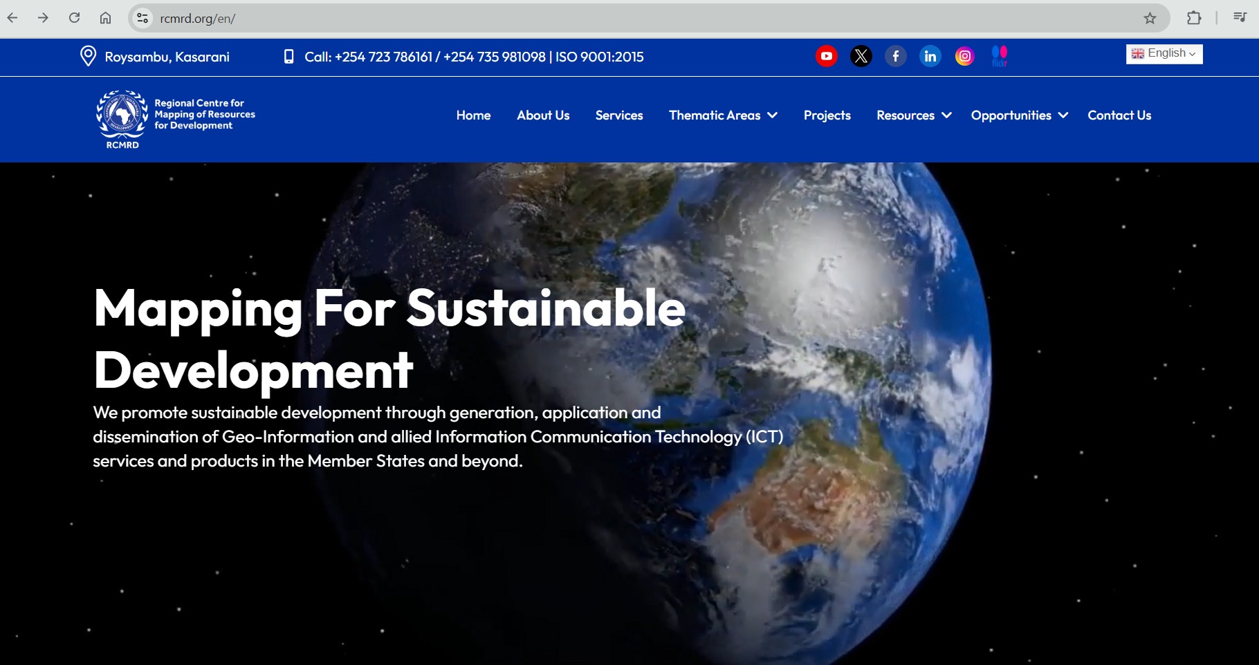
RCMRD is a key organization in the field of geographic information systems (GIS) and remote sensing, serving as a hub for technical expertise and research across the African continent.
RCMRD offers the full suite of land surveying services (Geodetic surveys, Topographical surveys, Engineering surveys, cadastral surveys), fit for purpose land administration and development of Land Information Systems (LIMS).
Phone No. (+254) 723 786 161 E-mail Address: [email protected] Website: www.rcmrd.org Position/Rank: 45. Ramani Geosystems
Ramani provides professional land surveying, aerial photography, aerial LiDAR, online spatial data, and GIS mapping services, contributing significantly to mapping initiatives across Africa. Through its innovative approach, Ramani Geosystems continues to play a crucial role in advancing geospatial technology and improving land management practices in Kenya and beyond.
The company leverages advanced geospatial technologies, including drone surveys, remote sensing, and GIS-based data analysis, to enhance decision-making processes. Ramani works closely with government agencies, real estate developers and engineering firms to provide custom mapping solutions tailored to specific project needs.
Phone No. (+254) 722 200 616 E-mail Address: [email protected] Website: www.ramani.co.ke Position/Rank: 56. Oakar Services
Oakar Services is a leading geospatial solutions provider in Kenya, specializing in GIS, Remote Sensing, and geospatial data management. The company is an authorized distributor of Trimble and other geospatial technology brands offering software, hardware and consultancy services to various industries, including urban planning, agriculture, natural resource management, and infrastructure development.
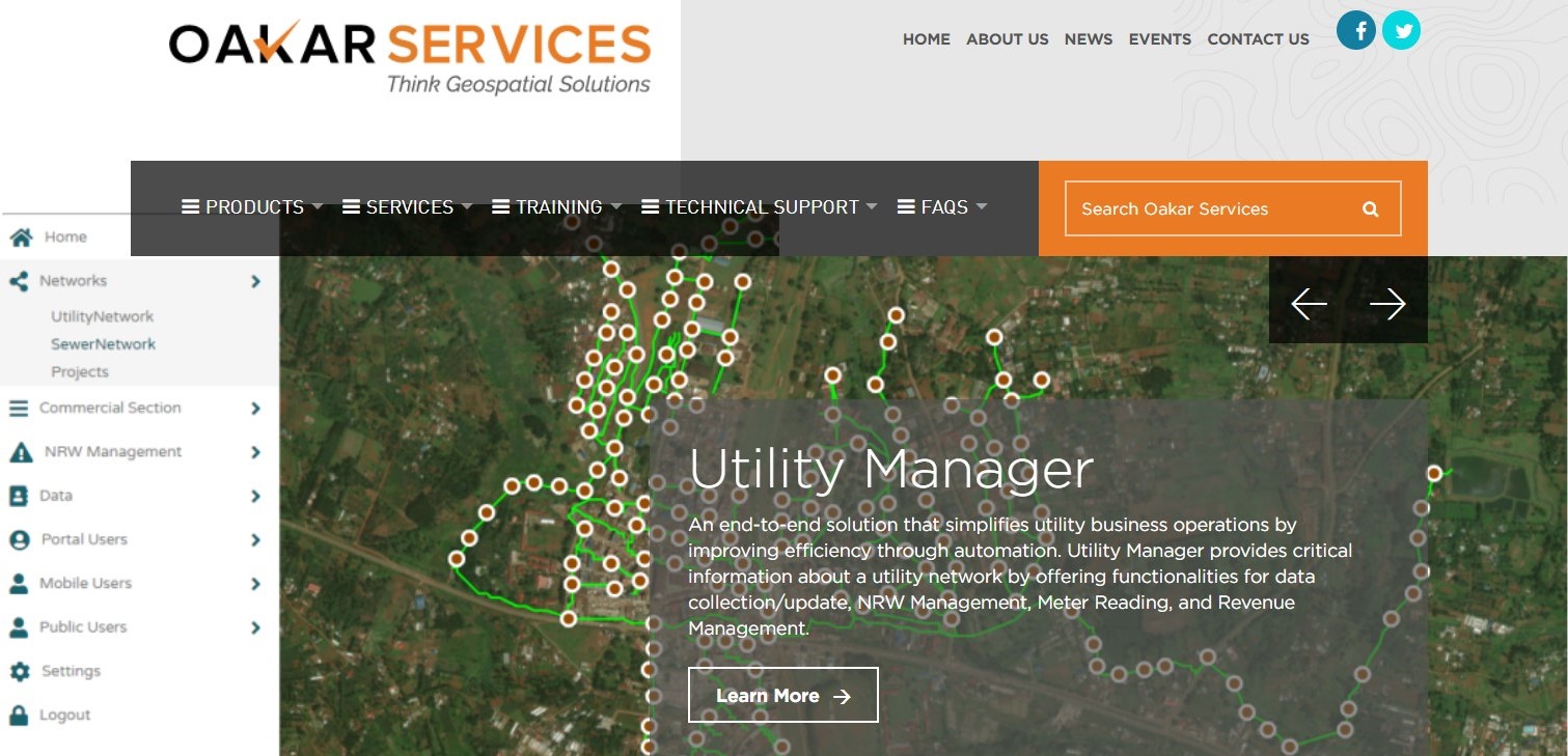
With a strong emphasis on innovation, Oakar Services helps organizations leverage cutting-edge GIS tools for spatial analysis, mapping, and decision-making. Beyond technology distribution, Oakar provides professional training and technical support to businesses, government agencies and academic institutions, ensuring they maximize the value of geospatial data.
Phone No. (+254) 708 895 644 E-mail Address: [email protected] Website: www.osl.co.ke Position/Rank: 67. Upande
A notable geospatial startup in Kenya, Upande specializes in developing web and mobile-based GIS solutions, focusing on environmental monitoring and data visualization. In addition to developing custom GIS solutions, Upande collaborates with government agencies, NGOs, and private enterprises to implement smart mapping technologies and data visualization tools.
Upande focuses on developing innovative data-driven platforms for environmental monitoring, water resource management, and urban planning. Upande is known for its expertise in spatial data analysis, IoT integration, and real-time geospatial applications, helping organizations make informed decisions using location-based insights. Their flagship products, such as WaSHMIS for water and sanitation monitoring, demonstrate their commitment to leveraging technology for sustainable development.
Phone No. (+254) 726 428 166 E-mail Address: [email protected] Website: www.upande.com Position/Rank: 78. Esri Eastern Africa
As a regional distributor of Esri products, Esri Eastern Africa provides GIS software solutions and training, supporting various industries in effective decision-making through geospatial technologies. Esri Eastern Africa is a leading provider of GIS solutions in Kenya and the broader East African region. As the official distributor of Esri’s ArcGIS software, the company offers cutting-edge GIS technology for spatial analysis, mapping and data visualization.
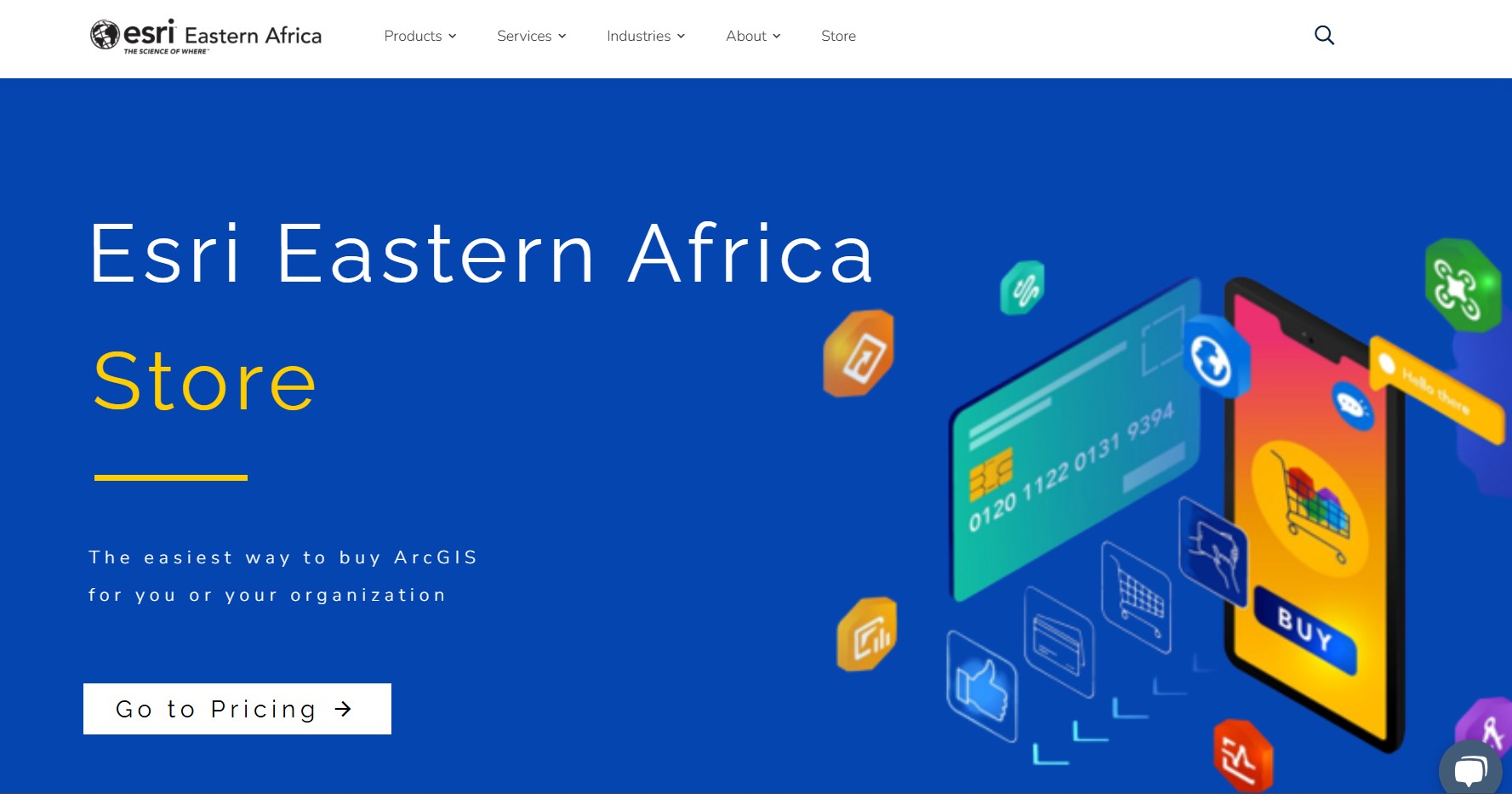
Beyond software distribution, Esri Eastern Africa provides professional training, technical support, and consultancy services to government agencies, private businesses, and academic institutions. Their training programs cover key GIS applications, ensuring that users maximize the potential of geospatial technology in their respective fields.
Phone No. (+254 722 521 341 E-mail Address: [email protected] Website: www.esriea.com Position/Rank: 89. IMAP International
IMAP INTERNATIONAL is a market leader in offering geospatial services in the region. We provide government, non-profit and commercial business partners with custom-fit field data collection and adding value by using Geographic Information System (GIS) solutions. By matching the demand for innovative field data collection solutions with an agile business model and visionary leadership, we continue our rapid growth by competing for and winning high-profile business.
We enhance customer value through comprehensive, accurate baseline solutions, while it continues to expand into data aggregation, verification, data conversion and consulting services.
Phone No. (+254) 723 679 082 E-mail Address: [email protected] Website: www.imap.co.ke Position/Rank: 910. Geodev Kenya
Incorporated in 2002, Geodev (K) Ltd is a reputable firm of Registered and Practicing Land and Engineering Surveyors, GIS Experts, Urban and Regional Planners, Environmental Experts, Engineers, Architects and Information Technology (IT) Experts, providing a wide range of consultancy services in Land & Engineering Surveying, GIS Mapping, Urban and Regional Planning, Strategic Environmental Plans, Environmental Impact Assessment and Audits, Architectural Services and Information Technology services.
The company has a pool of registered professionals which include Geo-informatics Experts, Land Surveyors, Physical Planners, Civil Engineers, Materials Engineers, Electrical Engineers, Mechanical Engineers, Hydrologists, Sociologists, Development Economic Experts, Advocacy Experts and Environmental Experts.
Phone No. (+254) 715 077 817 E-mail Address: [email protected] Website: www.geodev.co.ke Position/Rank: 10
Ad: Explore the world with Expedia

Flewflew: AI solutions provider in Africa

OrbiCollect: Mobile mapping made easier!

NSE Stock Market: Buy & Sell Shares

Join Binance and Let us win together!

AGM 6th Edition: Jan-Apr 2025