An American space technology company SpaceX is set to revolutionize global communications with its latest initiative – Beta testing Direct-to-Cell (DTC) Starlink satellites. This ambitious project aims to provide seamless satellite connectivity directly to standard mobile phones without requiring specialized hardware. The new service is expected to address gaps in terrestrial cellular networks ensuring connectivity in the most remote and underserved regions worldwide.
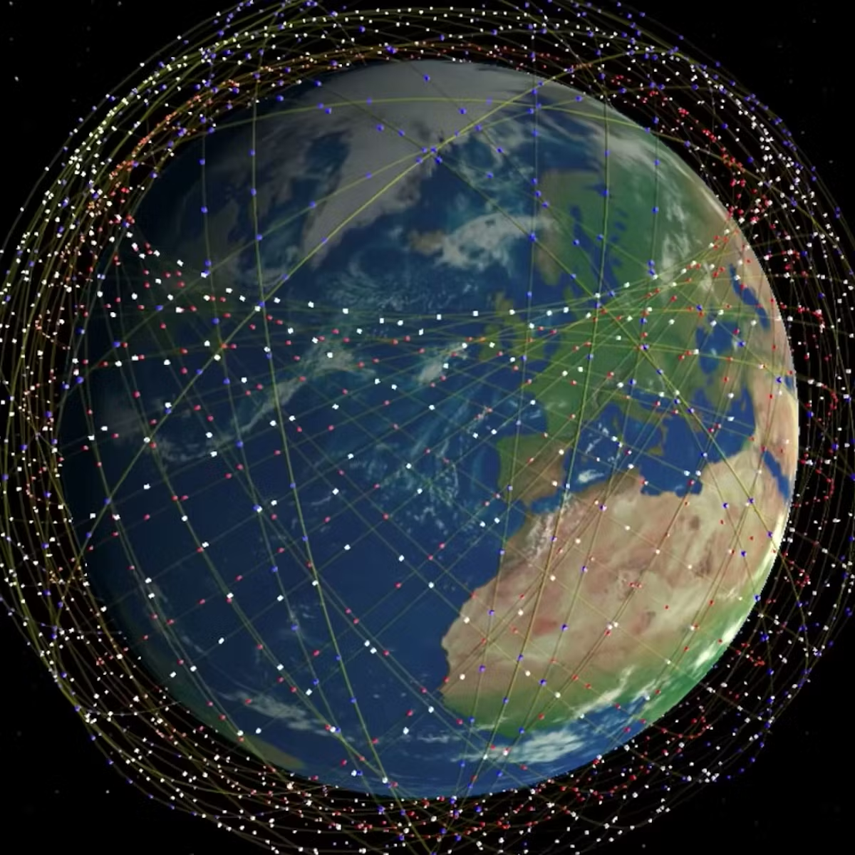
The Direct-to-Cell initiative leverages SpaceX’s existing Starlink satellite constellation of more than 7,000 satellites which currently provides broadband internet globally. These satellites connect more than 4.6 million people from over 118 nations on all continents to high-speed internet. SpaceX launches batches of 20+ Starlink satellites weekly each containing a number of Direct-to-Cell satellites. Unlike traditional satellite phone services that require dedicated devices, this new system will allow unmodified smartphones to connect directly to satellites in the orbit. This breakthrough has been made possible by advancements in satellite technology and partnerships with mobile network operators across the globe.
SpaceX has been collaborating with telecommunications companies such as T-Mobile in the US to integrate Direct-to-Cell functionality into existing cellular infrastructure. This partnership aims to enable mobile users to maintain coverage even in areas lacking traditional cell towers, such as remote wilderness, open oceans, and disaster-stricken regions. The service will initially support text messaging, with voice and data capabilities expected to be launched in later phases.
Also read this captivating article >>> iPhones and Android phone users can now use satellites to make calls
The Beta testing will begin with a limited number of users in select regions allowing SpaceX to assess the performance, network capacity, and user experience. This phase is crucial for refining the system before broader deployment. The testing process will also help in determining how well the satellites can handle congestion, latency and seamless network transitions between ground-based and satellite connections.
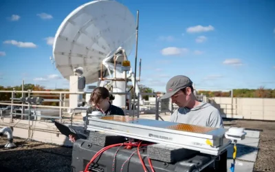
A key technological challenge is ensuring that Starlink satellites can effectively communicate with standard cell phones which have relatively low transmission power. To address this, SpaceX has designed its Direct-to-Cell satellites with advanced phased-array antennas capable of dynamically adjusting signals to optimize connectivity. These satellites operate in low Earth orbit (LEO), reducing signal delay compared to traditional geostationary satellite networks.

Another major hurdle is the regulatory approval. SpaceX has been working with national and international telecommunications regulators to ensure compliance with spectrum allocation rules. Since satellite-based cellular service operates differently from traditional mobile networks, frequency coordination and interference mitigation are essential to avoid disrupting existing services.
If successful, Direct-to-Cell technology could significantly impact emergency response, remote work, and global connectivity. Rural communities, maritime industries, and travelers in remote locations stand to benefit the most. Additionally, the system could play a crucial role in disaster relief efforts, ensuring communication remains available when ground-based infrastructure is damaged or unavailable.
The competition in the satellite-to-cell space is heating up, with other companies, including Apple (via Globalstar) and AST SpaceMobile, developing similar solutions. However, SpaceX’s advantage lies in its rapidly expanding Starlink network and ability to launch and deploy satellites at an unprecedented pace. This could give the company a significant head start in rolling out commercial Direct-to-Cell services.
SpaceX’s CEO, Elon Musk has emphasized the importance of eliminating cellular dead zones and making connectivity universally accessible. This aligns with Starlink’s broader mission of providing high-speed internet globally, particularly in areas where traditional broadband infrastructure is impractical or cost-prohibitive. Direct-to-Cell represents another step toward that vision, bridging the gap between satellite and mobile networks.
As beta testing progresses, industry experts will closely monitor performance metrics and user feedback. If successful, SpaceX’s Direct-to-Cell technology could reshape the future of mobile communication, paving the way for a world where no location is out of reach. The full-scale commercial launch is expected in the coming years potentially setting a new standard for global connectivity.
According to nasaspaceflight.com, SpaceX officially requested special temporary authority to conduct experimental operations on the DTC equipped satellites which started on 27th January 2025. This will allow beta testing to formally begin for users with average cell phones on SpaceX’s partner cellular service carriers.
This beta release will allow SpaceX and partner carriers to learn what a full-scale Starlink DTC constellation needs to function without issues. It is noted that the beta release will be a global launch with specific cellular partners worldwide. This beta will enable more development of DTC technology than ever before and could help create supplemental coverage from space for areas where people may find themselves in emergency situations.
And for SpaceX, much of the profit received from Starlink will be funneled back into the development of Starship. This increased profit margin will allow work to be completed faster without worrying about losing money in risky developmental processes and programs. Starlink has already shown that creating orbital cell services worldwide could change how people communicate. Such services could save countless lives and become an expectation for every carrier, especially in emergencies. Starlink could, therefore, be the unexpected technology that enables humans to become a multi-planetary species!
GIS training courses catalogue: Here ++ | E-mail address: [email protected] | WhatsApp No: +254 719 672 296
Ad: Explore the world with Expedia

Flewflew: AI solutions provider in Africa

OrbiCollect: Mobile mapping made easier!

NSE Stock Market: Buy & Sell Shares

Join Binance and Let us win together!

AGM 6th Edition: Jan-Apr 2025