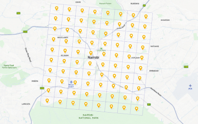
Static Survey and the Establishment of 176 GCPs in Nairobi, Kenya
Static Survey and the Establishment of 176 GCPs in Nairobi, [...] Continue reading
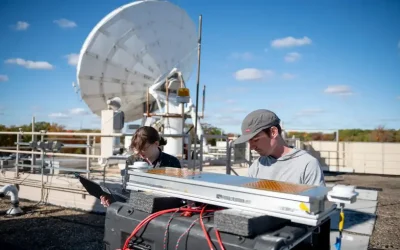
NASA Ultra-lightweight Aerogel Antenna NASA engineers are using one of […]
Continue reading
A Land Information and Management System (LIMS) is a web […]
Continue reading
On average, over 500 hours of content are uploaded to […]
Continue reading
A frantic race by leading tech giants to develop ever […]
Continue reading
An American space technology company SpaceX is set to revolutionize […]
Continue reading
What is mobile mapping? Mobile mapping is a method of […]
Continue reading
According to the latest news released by SpaceX, iPhone and […]
Continue reading


OrbiCollect: Mobile data collection made easier for organizations and individuals!
This will close in 20 seconds