
In July 2025, Kenya Space Agency (KSA), in partnership with […]
Continue reading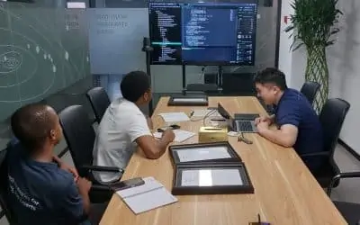
In July 2025, Kenya Space Agency (KSA), in partnership with […]
Continue reading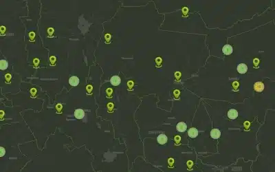
A GIS Dashboard features a user-friendly, interactive web application GIS […]
Continue reading
Mobile data collection is a method of compiling qualitative and […]
Continue reading
Transport Cabinet Secretary Davis Chirchir has revealed that ground breaking […]
Continue reading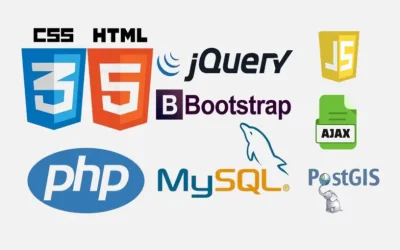
The OrbiCollect software is a modern and robust mobile data […]
Continue reading
Geocoding is the process of converting textual location information (human-readable […]
Continue reading
Orbital Geospatial College (OGC) conducted training on Geographical Information System […]
Continue reading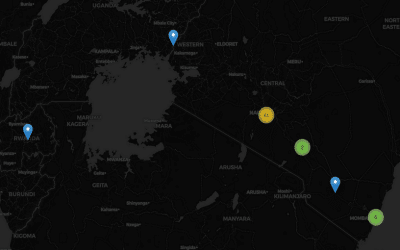
We have developed a complete GIS Based Accidents and Incidents […]
Continue reading
Introduction In today’s data-driven world, Machine Learning (ML) and Artificial […]
Continue reading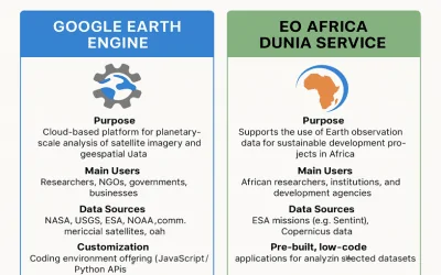
EO Africa Dunia Service The EO Africa Dunia Service is […]
Continue reading


OrbiCollect: Mobile data collection made easier for organizations and individuals!
This will close in 20 seconds