The design and development of a smart GIS app or […]
Continue reading
The design and development of a smart GIS app or […]
Continue reading
The OrbiCollect software is a modern and robust mobile data […]
Continue reading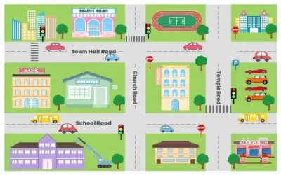
Quantum GIS (QGIS) is an open-source GIS software that allows […]
Continue reading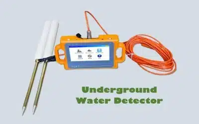
The PQWT-S300 is an automatic underground water detector designed to […]
Continue reading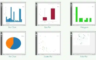
DataPlotly plugin for QGIS is a significant development in integration […]
Continue reading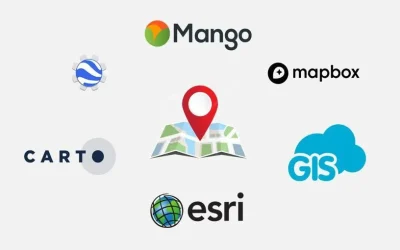
GIS web mapping platforms enable users to create, view, analyze, […]
Continue reading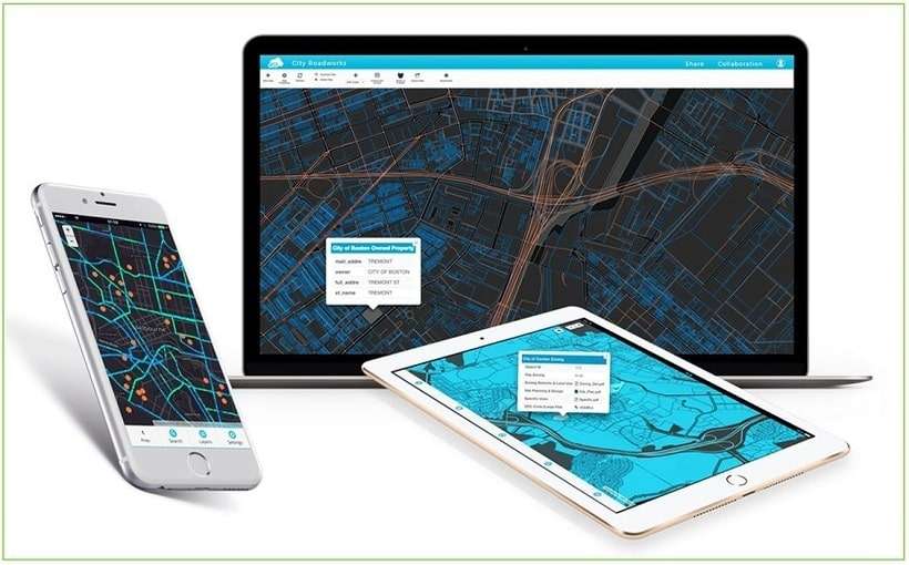
Have you often wondered how to share CAD drawings online? […]
Continue reading
The procedure of conducting control and topographical survey involves a […]
Continue reading
Artificial Intelligence (AI) also known as “machine intelligence” is an […]
Continue reading


OrbiCollect: Mobile data collection made easier for organizations and individuals!
This will close in 20 seconds