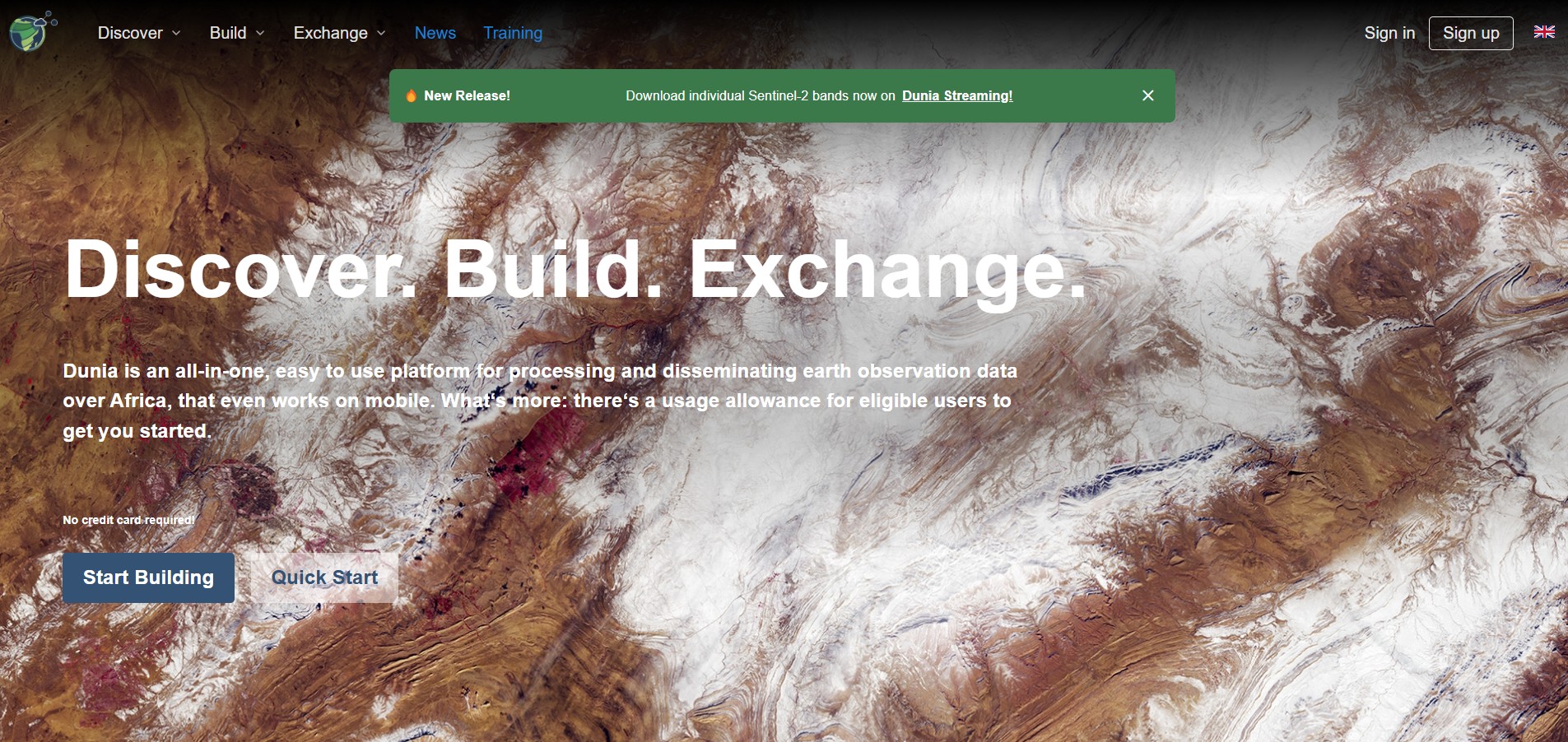
EO Africa Dunia Service
The EO Africa Dunia Service is a digital platform developed by the European Space Agency to support the use of Earth Observation (EO) data across Africa. It focuses on providing accessible, analysis-ready datasets and tools that empower African researchers, institutions, and development projects, especially in areas like agriculture, water management, and climate resilience.
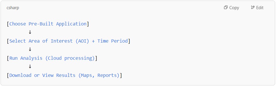
Dunia is designed with simplicity in mind: users can explore pre-built applications, select regions of interest, and generate insights without needing to code. The platform handles complex EO processing in the cloud, delivering user-friendly maps, reports, and visualizations to assist decision-making.
Beyond data services, Dunia is also part of a broader capacity-building effort, offering training and collaboration opportunities to strengthen local EO expertise. It helps bridge the gap between scientific data and practical development needs across the continent.
Dunia Service offers a suite of applications designed to facilitate Earth Observation (EO) data analysis for African users. The platform emphasizes user-friendly, low-code tools, specific applications are not exhaustively listed on the main site. However, the Dunia Application Hub provides an environment that integrates EO processing toolboxes like SNAP and Orfeo Toolbox, allowing users to build and run workflows tailored to their needs.
The Soko Marketplace serves as a repository where users can explore and share applications and data products developed by the Dunia community. This collaborative space enables users to access a variety of tools and datasets, fostering a community-driven approach to EO data utilization. If you create something yourself, you can also promote it on the Marketplace.
For those interested in developing custom applications, the Dunia Sandbox offers a ready-to-use R&D and service deployment platform accessible directly from a web browser. This virtual environment supports the development of tailored solutions using the available EO datasets and tools.
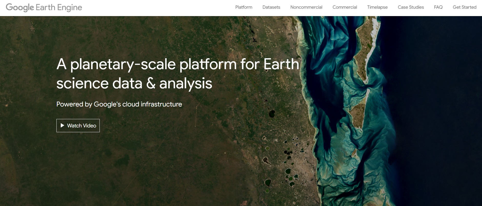
Google Earth Engine
Google Earth Engine (GEE) combines a multi-petabyte catalog of satellite imagery and geospatial datasets with planetary-scale analysis capabilities. The scientists, researchers and developers use Earth Engine to detect changes, map trends, and quantify differences on the Earth’s surface. Earth Engine is now available for commercial use, and remains free for academic and research use.
GEE is a cloud-based platform developed by Google that enables large-scale analysis of satellite imagery and geospatial datasets. It hosts petabytes of data from NASA, USGS, ESA, and other agencies, allowing users to perform planetary-scale analyses without needing to download or manage data locally. Researchers, NGOs, and governments around the world use GEE for environmental monitoring, disaster response, land use planning, and climate change studies.
GEE offers powerful programming interfaces in JavaScript (via the Code Editor) and Python (via its API), providing the flexibility to develop highly customized workflows. Users can combine multiple datasets, apply statistical and machine learning models, and create dynamic visualizations and apps. The platform also enables time-series analysis, change detection, and the development of predictive models, making it a favorite for advanced scientific research.
While GEE is free for research, education, and non-commercial use, its commercial use requires licensing through Google Earth Engine for Business. Thanks to its massive data library, computing power, and active community, GEE has revolutionized remote sensing, making it possible for anyone with internet access and coding skills to tackle complex global challenges.
Comparing GEE and Dunia
| Feature | Dunia (ESA) | Google Earth Engine | |
| 1. | Purpose | Supports African stakeholders in using Earth Observation (EO) data for sustainable development, with a focus on Africa. | Global cloud-based platform for planetary-scale analysis of satellite imagery and geospatial data. |
| 2. | Main Users | African researchers, institutions, and development agencies. | Researchers, NGOs, governments, businesses worldwide. |
| 3. | Data Sources | Primarily ESA missions (e.g., Sentinel), Copernicus data. | Multiple sources: NASA, USGS, ESA, NOAA, commercial satellites. |
| 4. | Tools/Services | Provides analysis-ready datasets, capacity building, and ready-to-use EO applications via cloud platforms. | Offers coding environment (JavaScript/Python APIs), huge datasets, machine learning tools. |
| 5. | Customization | Mostly application-driven, low-code and user-friendly interfaces. | Highly customizable through coding, allowing complex analyses. |
| 6. | Focus Area | Africa-centric. | Global. |
| 7. | Access | Free access but mainly targeted to African development needs. | Free for research and non-commercial use globally. |
| 8. | Coding | Minimal coding | Coding and data science intensive |
| 9. | Scope | Focused on user-friendly decision-making | Ideal for research, innovation, large-scale projects |
| 10. | Applicable | Best for fast, operational outputs | Full flexibility |
Dunia workflow
The Dunia Application Hub is an environment that brings together, at the ease of your web browser, the processing power of EO processing toolboxes like SNAP and Orfeo Toolbox with the free earth observation data, in your own dedicated private workspace.
Out-of-the-box, you can find several applications to ease your work, or you can be creative and visually assemble your own processing workflows. Or you can even transfer your algorithms from your Dunia Sandbox here to run them on larger scales.
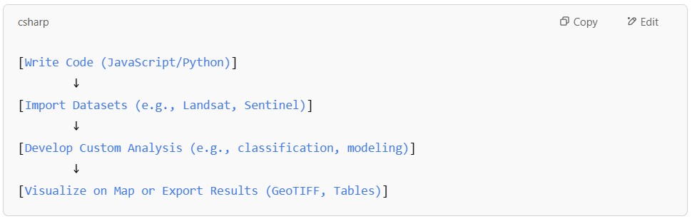
Google Earth Engine workflow
You can begin by creating a GEE account and logging in. Then, utilize the web-based Code Editor, a JavaScript-based IDE, for writing and running scripts. Write JavaScript code to process and analyze geospatial data within code editor.
The visualization of your data and analysis results is done on the interactive map interface. In addition, you can perform various geospatial analyses, including calculating indices, cloud masking, and applying map/reduce functions to collections of imagery. Utilize built-in machine learning tools for tasks such as regression, classification and image segmentation.
GIS training courses catalogue: Here ++ | E-mail address: [email protected] | WhatsApp No: +254 719 672 296
Ad: Explore the world with Expedia

Flewflew: AI solutions provider in Africa

OrbiCollect: Mobile mapping made easier!

NSE Stock Market: Buy & Sell Shares

AGM 6th Edition: Jan-Apr 2025