Orbital Geospatial College recently conducted a comprehensive two-week professional training […]
Continue reading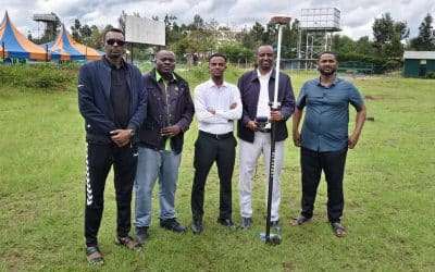
Orbital Geospatial College recently conducted a comprehensive two-week professional training […]
Continue reading
A Geographical Information System (GIS) is a computer-based tool that […]
Continue reading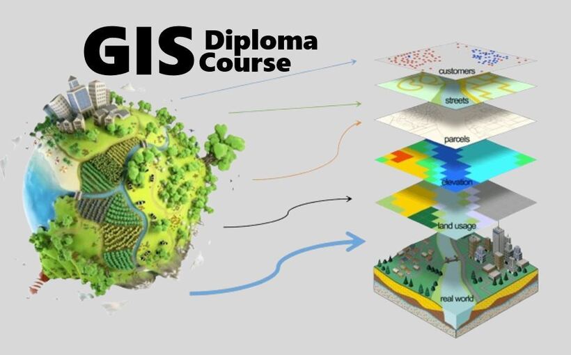
Geographic Information Systems (GIS), Cartography and Remote Sensing Diploma Course is […]
Continue reading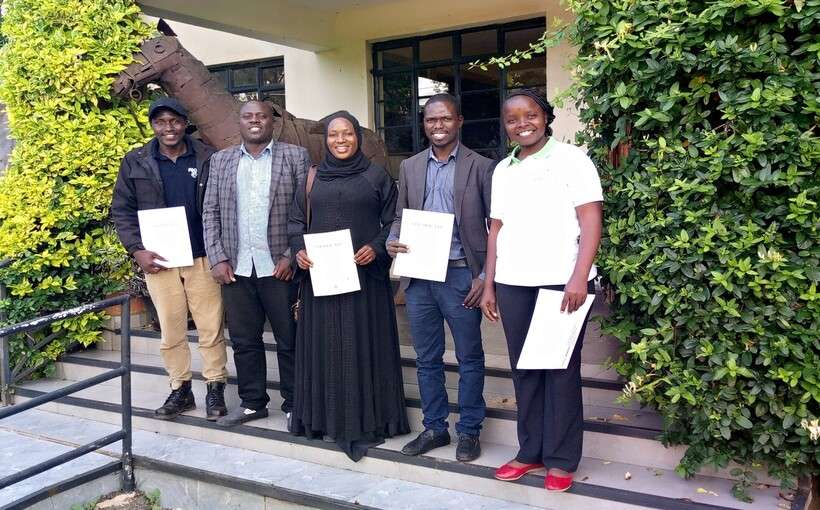


OrbiCollect: Mobile data collection made easier for organizations and individuals!
This will close in 20 seconds