In this article, we’re going to explore what LIDAR technology […]
Continue reading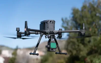
In this article, we’re going to explore what LIDAR technology […]
Continue reading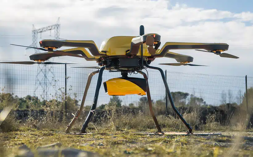
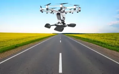
The Hexa eVTOL (electric vertical takeoff and landing) is a […]
Continue reading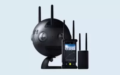
The Insta360 Pro II is a professional-grade spherical Virtual Reality […]
Continue reading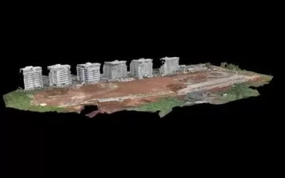
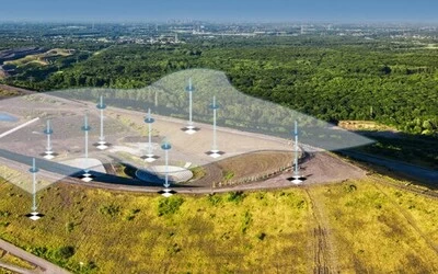
A Digital Surface Model (DSM) is a digital representation of […]
Continue reading
Ground Control Points Ground control points (GCPs) and check points […]
Continue reading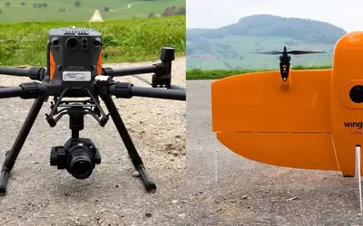
DJI Matrice 300 The DJI Matrice 300 is a professional-grade […]
Continue reading


OrbiCollect: Mobile data collection made easier for organizations and individuals!
This will close in 20 seconds