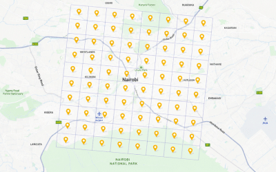
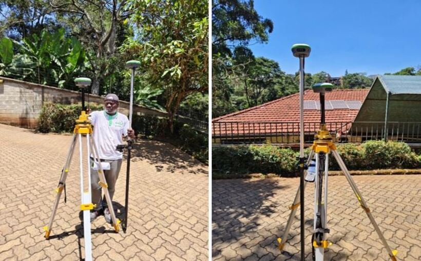
Static Survey and the Establishment of 176 GCPs in Nairobi, Kenya
Static Survey and the Establishment of 176 GCPs in Nairobi, [...] Continue reading

The land survey profession is a field which involves the […]
Continue reading
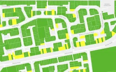
About Ardhisasa platform Ardhisasa is Kenya’s digital and online platform […]
Continue reading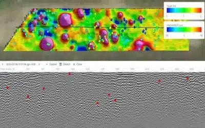
Introduction GPR technology is a non-invasive geophysical method used to […]
Continue reading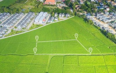
Adverse possession is a legal doctrine that allows someone to […]
Continue reading
During the 9th Africa Regional Conference organized by the Institution […]
Continue reading


OrbiCollect: Mobile data collection made easier for organizations and individuals!
This will close in 20 seconds