The design and development of a smart GIS app or […]
Continue reading
The design and development of a smart GIS app or […]
Continue reading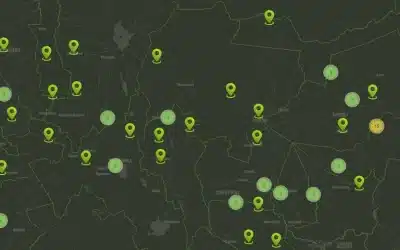
A GIS Dashboard features a user-friendly, interactive web application GIS […]
Continue reading
Mobile data collection is a method of compiling qualitative and […]
Continue reading
Orbital Geospatial College (OGC) conducted training on Geographical Information System […]
Continue reading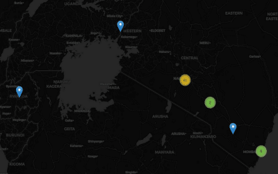
We have developed a complete GIS Based Accidents and Incidents […]
Continue reading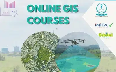
A Geographical Information System (GIS) is a computer-based tool that […]
Continue reading
The list of best top 10 Geospatial companies specializing on […]
Continue reading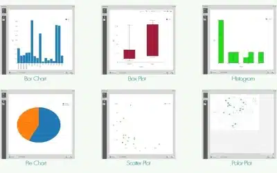
DataPlotly plugin for QGIS is a significant development in integration […]
Continue reading
GIS web mapping platforms enable users to create, view, analyze, […]
Continue reading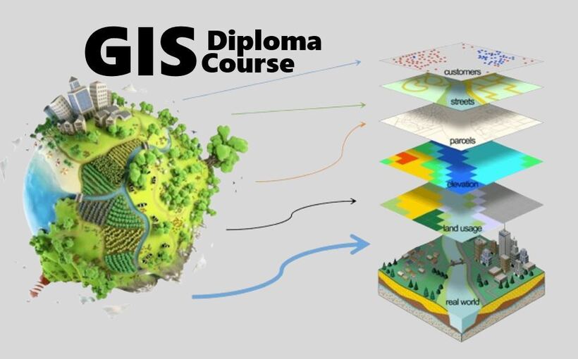
Geographic Information Systems (GIS), Cartography and Remote Sensing Diploma Course is […]
Continue reading


OrbiCollect: Mobile data collection made easier for organizations and individuals!
This will close in 20 seconds