GIS, Remote Sensing and Cartography Diploma Course September 3, 2024 Orbital GIS No comments yet 
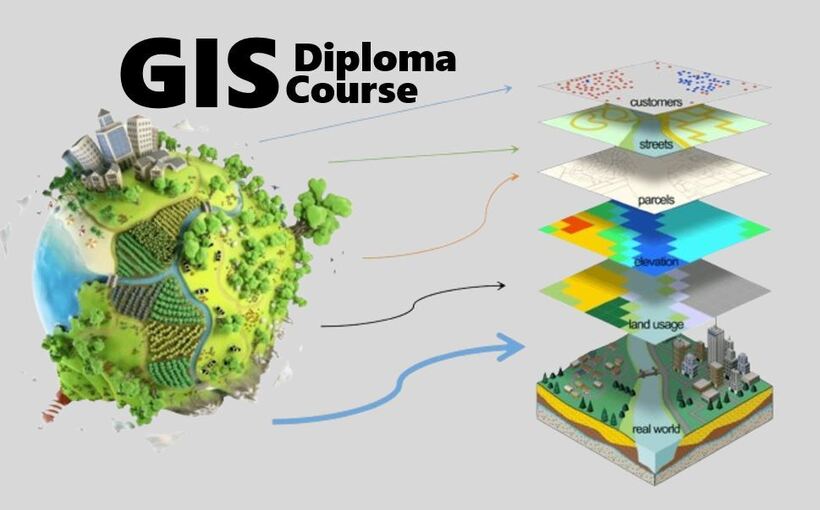
Geographic Information Systems (GIS), Cartography and Remote Sensing Diploma Course is […] Continue reading
GIS Training of Six (6) Energy Engineers from Energy Ministry, Malawi June 15, 2024 Orbital GIS No comments yet During the Months of April - June 2024, Orbital Africa [...] Continue reading
The Procedure for Downloading a DEM from SRTM in QGIS June 5, 2024 Orbital GIS No comments yet The process of downloading a Digital Elevation Model (DEM) data [...] Continue reading
Use of GIS in the Flood Hazard Assessment and Mitigation in Kenya May 1, 2024 Orbital GIS No comments yet Flooding Hazards A hazard refers to any situation, condition, substance, [...] Continue reading
What’s Geographical Information Systems – GIS? April 26, 2024 Orbital GIS No comments yet Introduction A Geographical Information System (GIS) is a computer system [...] Continue reading
Trip to Ethiopia: Training on GIS for Water Utility Planning March 5, 2024 Orbital GIS No comments yet GIS is an extensive information system that enables modernization of [...] Continue reading
Bridge Inventory and Management System (BIMS) January 30, 2024 Orbital GIS No comments yet A Bridge Inventory and Management System (BIMS) is a comprehensive […] Continue reading
A GIS-based incidents reporting platform in Africa October 15, 2023 Orbital GIS No comments yet 
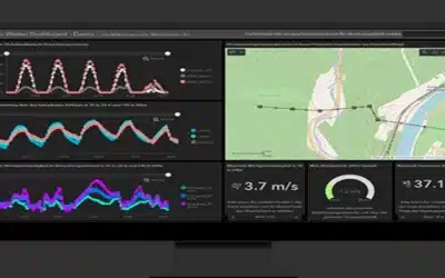
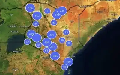
A GIS Incidents Reporting Platform is a software application that […] Continue reading
Clustering Kenya’s health facility GIS data using Leaflets JS June 7, 2023 Orbital GIS No comments yet 
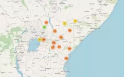
Leaflets is the leading open-source JavaScript library for mobile-friendly interactive […] Continue reading