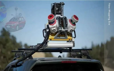
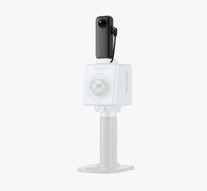
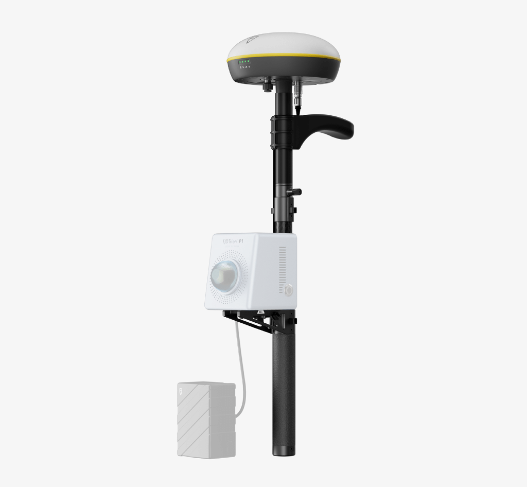
3D scanning is the process of analyzing a real-world object or environment to collect three dimensional (3D) data of its shape and possibly its appearance (e.g. color). The collected data can then be used to construct digital 3D models. Whether you are a seasoned laser scanning professional or just 3D-curious, a walk around the site with the P1 lets you digitize your environment quickly and accurately. SLAM-empowered lightweight handheld laser scanner for easy reality capture. Scan environments as you walk and create 3D models, floor plans and BIM. With an internal grip battery, it allows for a more balanced weight distribution, which not only enhances the overall using experience but also conforms to ergonomic principles.
Technical Specifications
- Relative Accuracy: Up to 2 cm*
- Scanning Range: 40 m @ 10% reflectivity
- LiDAR FOV: 360° × 59°
- Points Per Second: 200,000
- Lightweight and Portable: 1 kg / 2.2 lbs
- Real-time Point Cloud: Visualize as you scan
Key Benefits of FJD Trion P1 Laser Scanner
Indoor, Outdoor, Underground, all Day Long: Wherever you go, the P1 can capture what you see. Map the environment with intricate details inside and outside, from ornate architecture to hidden infrastructure, from forensic evidence to urban vegetation analysis. Powerful SLAM technology enables the P1 to work in direct sunlight or even at night, in locations that may be inaccessible with traditional methods.
Compact and Portable, Yet Mighty: Pick up the FJD Trion P1 whenever you want to take a closer look at your world. Weighing in at only 1.15 kg or slightly over 2 lbs, the P1 fits in a messenger bag and can work all day with easy battery swaps, recreating your environment in minutes.
Real time Point Cloud in Trion Scan: Walk and scan with the P1, while viewing the real-time point cloud data on your mobile device via Trion Scan. Check for data completeness and note the loop closure numbers to ensure enough data is captured for proper post-processing.
Reliable Scanning Accuracy: FJD Trion P1 Portable 3D Laser Scanner, paired with up to 2cm of relative accuracy, provides 3D LiDAR scanning results that are more precise, intricate, and lifelike than ever before.
Incredible Scanning Range: With the ability to capture 3D data from a distance of up to 40 meters at a reflectivity level of 10%, Trion P1 offers a visualization experience that brings the scanned data to life in real-time through the use of a point cloud.
Applications FJD Trion P1
Property Management and Assessment: Assess structural integrity, plan spaces, and identify areas in need of repair or renovation. Reduce uncertainty in investment decisions with insights from a rich spatial dataset.
Public Safety: Leverage point cloud data to enhance disaster preparedness and recovery plans. Quickly record evidence and crime or accident scenes for immediate and accurate forensic documentation.
Architecture, Engineering and Construction: Make more informed decisions on your projects from blueprint to QA/QC with building surveys, scan to CAD&BIM, as-built documentation, floor plans, and stockpile volumes.
Media and Entertainment: Craft new realities based on real-world inspirations. Whether you’re creating video games, virtual tours, or cinematic environments, capture the essence of both indoor and outdoor settings.
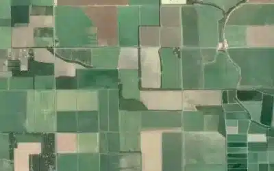
Forestry and Vegetation Analysis: Manage and monitor tree inventory with a quick walk in the forest. Measure crowns, analyze breast diameter and tree height using precise point cloud data.
Robotics: Facilitate communications between teams before and during robotics deployment. Plan routes and enhance robot obstacle avoidance with 2D maps and 3D models of the environment.
Real-Time Visualization of 3D Point Clouds Software
• Displays the scanned project files, storage capacity, and battery life
• Visualizes the point cloud in real-time
• Tracks real-time path
• Manages and downloads the project files
Point Cloud Post-Process Software
• Denoises and colorizes point clouds
• Stitches point clouds, maps shadow, transforms coordinates, and does automatic plane fitting
• Classifies point clouds, produces 2D drawings, and builds 3D models
Ad: Explore the world with Expedia

Flewflew: AI solutions provider in Africa

OrbiCollect: Mobile mapping made easier!

NSE Stock Market: Buy & Sell Shares