The construction of Usahihi Expressway is a 440-km dual carriageway […]
Continue reading
Orbital Africa
BLOG
Orbital Africa...setting the pace in Kenya, Africa and beyond
SpaceX has begun Beta testing Direct–to–Cell by Starlink Satellites
An American space technology company SpaceX is set to revolutionize […]
Continue readingProposed construction of Naivasha – Kisumu SGR (Phase 2B)
Kenya Standard Gauge Railway (SGR) is one of the flagship [...] Continue reading
Some Facts about Land Survey and Mapping Profession
The land survey profession is a field which involves the […]
Continue readingDiving into the Mobile Mapping and how AI is driving the technology
What is mobile mapping? Mobile mapping is a method of […]
Continue readingKenya gov’t announces transition from the old Mutations to Ardhisasa
About Ardhisasa platform Ardhisasa is Kenya’s digital and online platform […]
Continue readingThe Power of DataPlotly plugin: Creating graphs in QGIS software
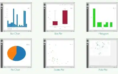
DataPlotly plugin for QGIS is a significant development in integration […]
Continue readingThe Africa Geospatial Magazine (AGM): 6th issue of Jan-Apr 2025
Welcome you to this issue of Africa Geospatial Magazine (AGM), […]
Continue readingiPhones and Android phones can now use satellites to make calls
According to the latest news released by SpaceX, iPhone and […]
Continue readingGPR underground utility scanning in Mogadishu, Somalia
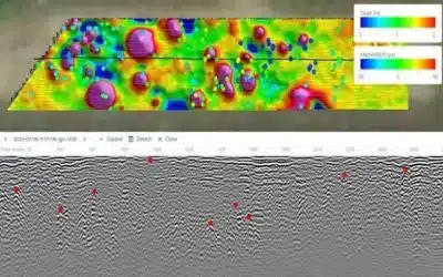
Introduction GPR technology is a non-invasive geophysical method used to […]
Continue readingTags
AI
AI Agent
App
Big Data
Bishoftu
Carbon Credits
CC
Chatbots
Climate Change
Data
Drones
Flexflew
GeoAI
Geocoding
GeoICT
Geospatial
GERD
GIS
GIS Training
GPR
Infrastructure
Kenya
Kenya Space Agency
Land Act
LIMS
Mapping
Maps
Mobile Mapping
NASA
Ngong
OrbiCollect
Projects
Python
Quantum computing
R
Satellite
Scanner
Space X
Starlink
Survey
Suswa
Topo Survey
Training
Trends
Virtual Assistant

