GIS based land management solutions support dynamic decision making through […]
Continue reading
Orbital Africa
BLOG
Orbital Africa...setting the pace in Kenya, Africa and beyond
Six (6) Best GIS web and online or cloud Mapping platforms
GIS web mapping platforms enable users to create, view, analyze, […]
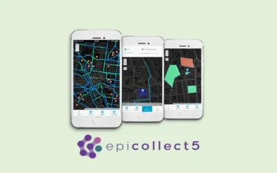
Continue readingAn online GIS course: Mobile data collection with Epicollect5
About Epicollect5 Epicollect5 app is a free and versatile data […]
Continue readingTrip to Hargeisa city in SomaliLand: The QGIS training of Telesom staff
Introduction to QGIS course The customized QGIS applications in telecommunication […]
Continue readingLand Registration Act of 2012: Understanding Adverse Possession
Adverse possession is a legal doctrine that allows someone to […]
Continue readingSurveyors call for a transition to Fixed Boundaries surveys
During the 9th Africa Regional Conference organized by the Institution […]
Continue readingTraffic Survey: Its role in Roads Planning and Designs
Almost every company from transportation industry tackles the challenge of [...] Continue reading
Do you want to Live in Mars? NASA has an Elaborate Plan for you!
NASA's ambition to send humans to Mars is a cornerstone [...] Continue reading
Machine Learning for Predictive Maps in Python and Leaflet
Creating predictive maps using Machine Learning (ML) in Python and [...] Continue reading
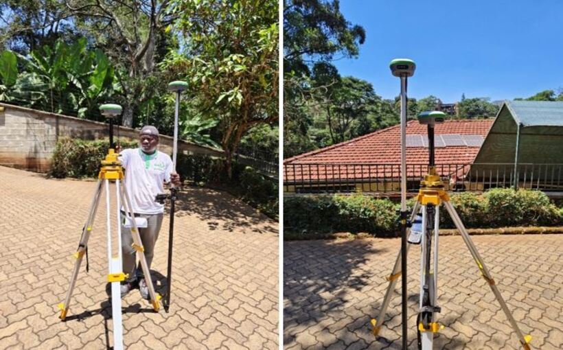
Topographical survey project using GNSS RTK in Kitisuru, Nairobi
Orbital Africa was contacted and contracted on 12th September 2024 [...] Continue reading
Tags
AI
AI Agent
App
Big Data
Bishoftu
Carbon Credits
CC
Chatbots
Climate Change
Data
Drones
Flexflew
GeoAI
Geocoding
GeoICT
Geospatial
GERD
GIS
GIS Training
GPR
Infrastructure
Kenya
Kenya Space Agency
Land Act
LIMS
Mapping
Maps
Mobile Mapping
NASA
Ngong
OrbiCollect
Projects
Python
Quantum computing
R
Satellite
Scanner
Space X
Starlink
Survey
Suswa
Topo Survey
Training
Trends
Virtual Assistant
