An echosounder, also known as a sonar depth finder, is […]
Continue reading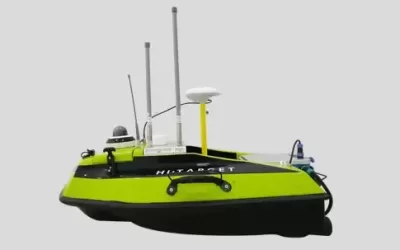
An echosounder, also known as a sonar depth finder, is […]
Continue reading
Introduction Ground Penetrating Radar (GPR) is a geophysical method that […]
Continue reading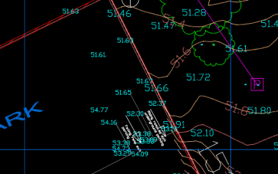
Have you often wondered how to share CAD drawings online? […]
Continue reading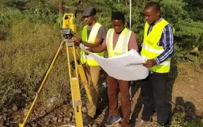
The procedure of conducting control and topographical survey involves a […]
Continue reading
Welcome to Orbital Africa! As a premier Geospatial, Geomatics and […]
Continue reading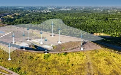
Ground Control Points Ground control points (GCPs) and check points […]
Continue reading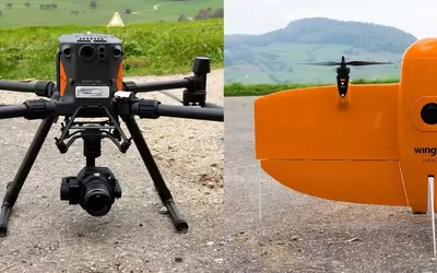
DJI Matrice 300 The DJI Matrice 300 is a professional-grade […]
Continue reading


OrbiCollect: Mobile data collection made easier for organizations and individuals!
This will close in 20 seconds