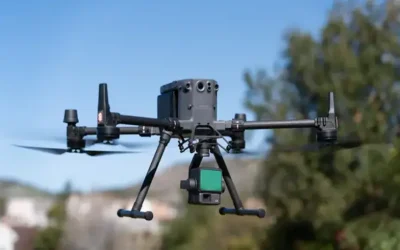
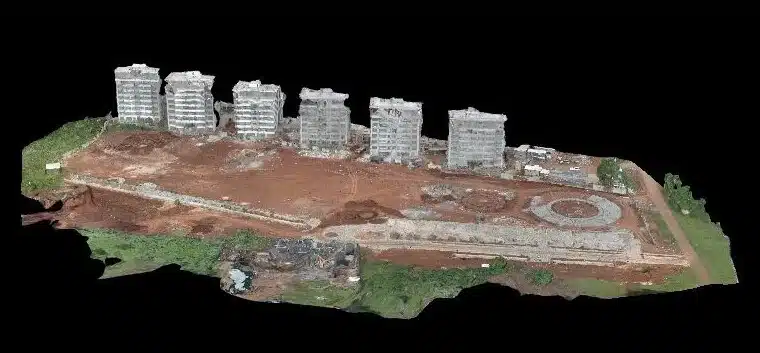
A Digital Surface Model (DSM) is a digital representation of the Earth’s surface that includes information about the elevation of features such as terrain, buildings, and vegetation. A Digital Surface Model (DSM) is created using remote sensing technologies such as aerial photography, LiDAR (Light Detection and Ranging), drone mapping or photogrammetry. In the case of aerial photography, high-resolution images of the Earth’s surface are captured from an aircraft or a drone. The images are then processed using photogrammetry software e.g. Pix4D or DroneDeploy to create a 3D model of the surface, which includes information on the height and elevation of each feature in the scene. This process involves identifying corresponding points in multiple images and using triangulation to calculate the 3D coordinates of those points.
Also Read >>> Use of Ground Control Points and Check Points during a Drone Survey
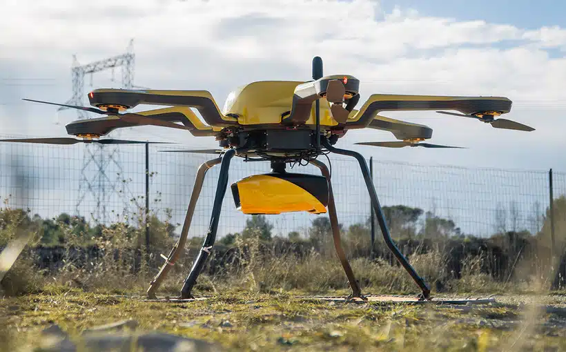
LiDAR is another technology commonly used to create DSMs. LiDAR sensors emit laser pulses that bounce off objects on the Earth’s surface and return to the sensor. By measuring the time it takes for the laser pulses to hit the object and return, the LiDAR system can determine the distance to each object, creating a point cloud. This point cloud can then be processed to create a DSM. Once the data has been collected, it is processed using specialized software to remove noise and errors and to generate a high-quality DSM. The resulting DSM can be visualized and analyzed using a range of geospatial software such as Pix4D.
Comparing Drone and LiDAR Digital Surface Models
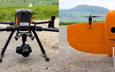
Drone and LiDAR are two commonly used platforms/methods for generating 3D models of the Earth’s surface. While both methods are used to create topographical maps, there are some differences between them. LiDAR DSMs are created using laser pulses emitted by airborne or terrestrial LiDAR sensors, which bounce off the Earth’s surface and return to the sensor. The time taken for the laser pulse to return is used to calculate the distance between the sensor and the surface, which is used to create a high-resolution point cloud of the surface. From the point cloud, a DSM is generated by interpolating the elevation values at each point to create a continuous surface model.
Drone DSMs, on the other hand, are created by capturing aerial images using a camera mounted on a drone and using photogrammetry techniques to extract 3D information from the images. The images are processed to create a dense point cloud of the Earth’s surface, which is then used to create a DSM by interpolating the elevation values at each point to create a continuous surface model.
One of the main differences between drone DSMs and LiDAR DSMs is the level of accuracy and detail. LiDAR sensors are generally more accurate and can penetrate vegetation to capture information about the ground surface, which can result in more detailed and accurate DSMs. In contrast, drone DSMs have lower accuracy and resolution, which can lead to less detailed and less accurate models.
Another difference is the cost and scalability. LiDAR surveys are generally more expensive and require specialized equipment and expertise, making them more suitable for larger-scale projects. Drone surveys, on the other hand, are less expensive and more accessible, making them a more viable option for smaller-scale projects; accuracy and detail, such as large-scale mapping, urban planning, highway planning and designs; and forestry management. Drone DSMs, on the other hand, are better suited for smaller-scale projects that require less accuracy, such as construction site monitoring, agricultural surveys, and inspection of infrastructure.
In summary, both drone DSMs and LiDAR DSMs have their advantages and limitations, and the choice of which to use depends on the specific needs of the project. LiDAR DSMs are generally more accurate and detailed but are more expensive and less scalable, while drone DSMs are more accessible and scalable but have lower accuracy and resolution.
Comparing Drone and LiDAR Point Clouds
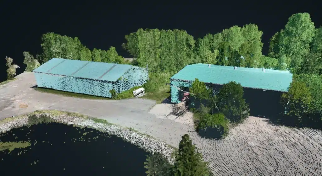
A point cloud is a digital representation of a physical object or environment that is made up of a large number of individual points. Each point in the cloud is typically defined by its three-dimensional (3D) coordinates and may also include additional information such as color, intensity, or surface normals.
Drone point clouds and LiDAR point clouds are two common types of point clouds used in remote sensing and aerial mapping applications. While both types of point clouds can be used to generate Digital Surface Models (DSMs) and Digital Elevation Models (DEMs), there are some key differences between them. One of the main differences between drone point clouds and LiDAR point clouds is the way they are collected. Drone point clouds are generated from images captured by cameras mounted on drones, while LiDAR point clouds are generated from laser pulses emitted by LiDAR sensors mounted on aircraft, drones, or ground vehicles.
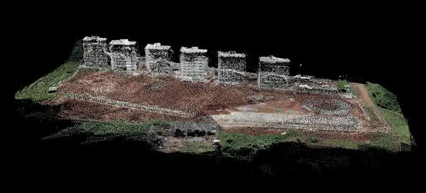
Drone point clouds tend to have a lower point density and accuracy compared to LiDAR point clouds. This is because drones typically fly at lower altitudes and speeds, and their cameras have limited resolution compared to LiDAR sensors. As a result, drone point clouds may have more noise and less detail, especially for small or complex features.
On the other hand, LiDAR point clouds can capture highly detailed and accurate data, even in challenging environments such as dense vegetation or urban areas. LiDAR sensors can penetrate vegetation and capture data at multiple heights, allowing for the creation of detailed 3D models of the Earth’s surface and vegetation.
In terms of cost, drone point clouds are generally less expensive to acquire than LiDAR point clouds, as drones are less expensive to operate and require fewer resources. However, LiDAR systems are becoming more affordable and accessible, especially for small-scale projects. Ultimately, the choice between drone point clouds and LiDAR point clouds depends on the specific requirements of the project, such as the level of detail and accuracy needed, the size and complexity of the area, and the available budget and resources.
Comparing Drone and LiDAR Contours
Drone and LiDAR contours are two different methods used to generate topographic or elevation data. Both techniques have their own advantages and limitations, and the choice between them depends on the specific application and requirements.
-
- Drone-based contour mapping involves using unmanned aerial vehicles (UAVs) equipped with high-resolution cameras or LiDAR sensors to capture aerial imagery or collect data points. The process typically includes the following steps:
-
- The drone flies over the target area, capturing the drone images.
- The collected data is processed using photogrammetry or LiDAR processing software to generate digital surface models (DSMs) or point clouds.
- Contours are then derived from the DSM or LiDAR data using interpolation techniques.
-
- LiDAR technology uses laser sensors to measure the distance between the sensor and the target surface. It can provide highly accurate elevation data and is commonly used for contour mapping. The process involves the following steps:
-
- An airborne or terrestrial LiDAR system emits laser pulses towards the ground.
- The emitted pulses reflect back to the sensor after interacting with the target surfaces, such as the ground, trees, or buildings.
- The sensor measures the time taken for the pulses to return, allowing for the calculation of distances and the creation of a 3D point cloud.
- Contours are generated from the point cloud using specialized software such as Global Mapper LiDAR module.
LiDAR is suitable for complex terrain: LiDAR is particularly useful in rugged or inaccessible terrain, where traditional surveying methods may be challenging such thick forest canopy.
Ad: Explore the world with Expedia

Fliki: Turn your ideas into videos

AGE 2025 Expo and conference

Join Binance and Let us win together!

AGM 6th Edition: Jan-Apr 2025