The construction of Usahihi Expressway is a 440-km dual carriageway […]
Continue reading
The construction of Usahihi Expressway is a 440-km dual carriageway […]
Continue reading
An American space technology company SpaceX is set to revolutionize […]
Continue reading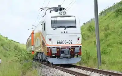

The land survey profession is a field which involves the […]
Continue reading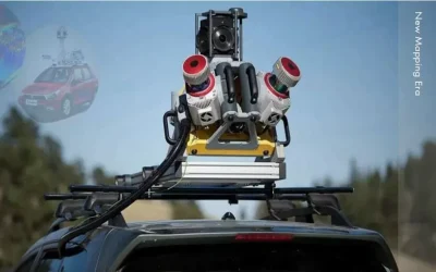
What is mobile mapping? Mobile mapping is a method of […]
Continue reading
About Ardhisasa platform Ardhisasa is Kenya’s digital and online platform […]
Continue reading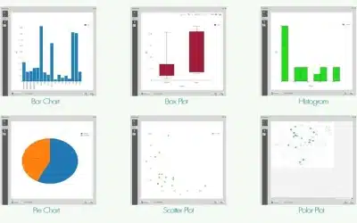
DataPlotly plugin for QGIS is a significant development in integration […]
Continue reading
Welcome you to this issue of Africa Geospatial Magazine (AGM), […]
Continue reading
According to the latest news released by SpaceX, iPhone and […]
Continue reading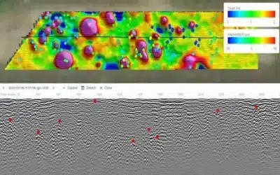
Introduction GPR technology is a non-invasive geophysical method used to […]
Continue reading


OrbiCollect: Mobile data collection made easier for organizations and individuals!
This will close in 20 seconds