EO Africa Dunia Service The EO Africa Dunia Service is […]
Continue reading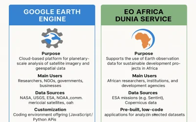
EO Africa Dunia Service The EO Africa Dunia Service is […]
Continue reading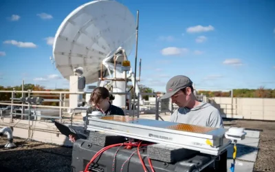
NASA Ultra-lightweight Aerogel Antenna NASA engineers are using one of […]
Continue reading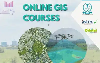
A Geographical Information System (GIS) is a computer-based tool that […]
Continue reading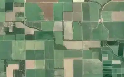
A Land Information and Management System (LIMS) is a web […]
Continue reading
On average, over 500 hours of content are uploaded to […]
Continue reading
Orbital Geospatial College (OGC) is a leading geospatial and technology […]
Continue reading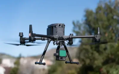
In this article, we’re going to explore what LIDAR technology […]
Continue reading
The list of best top 10 Geospatial companies specializing on […]
Continue reading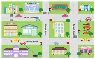
Quantum GIS (QGIS) is an open-source GIS software that allows […]
Continue reading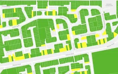


OrbiCollect: Mobile data collection made easier for organizations and individuals!
This will close in 20 seconds