
The Insta360 Pro II is a professional-grade spherical Virtual Reality […]
Continue reading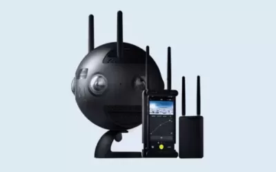
The Insta360 Pro II is a professional-grade spherical Virtual Reality […]
Continue reading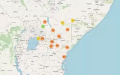
Leaflets is the leading open-source JavaScript library for mobile-friendly interactive […]
Continue reading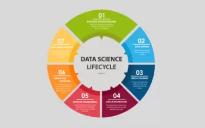
Data science is the study of data to extract meaningful […]
Continue reading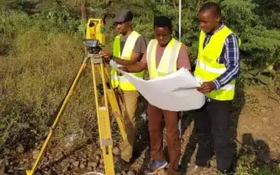
The procedure of conducting control and topographical survey involves a […]
Continue reading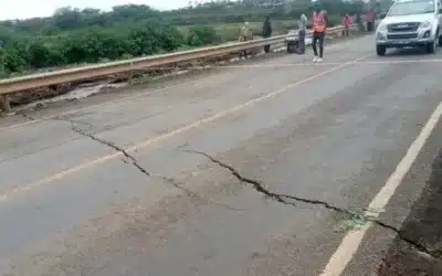
In March 2018, a massive crack measuring 15 metres deep […]
Continue reading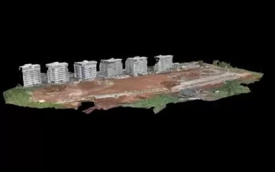
A Digital Surface Model (DSM) is a digital representation of […]
Continue reading

According to Kenya Space Agency, Taifa-1 Sat is Kenya’s first […]
Continue reading
Pneumatic road tubes (PRT), also known as pneumatic road traffic […]
Continue reading
Artificial Intelligence (AI) also known as “machine intelligence” is an […]
Continue reading


OrbiCollect: Mobile data collection made easier for organizations and individuals!
This will close in 20 seconds