
What’s the Quantum Computing? The basics and applications
Quantum computing (QC) is a multidisciplinary field comprising aspects of [...] Continue reading

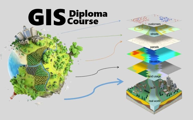
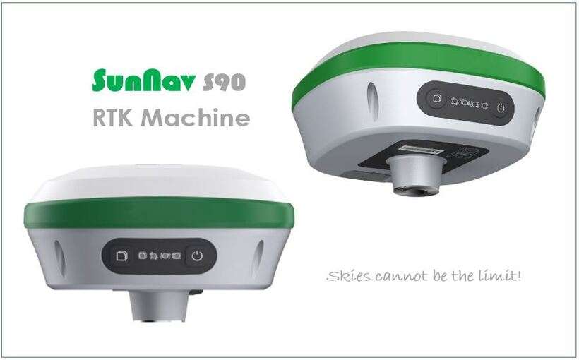
Geographic Information Systems (GIS), Cartography and Remote Sensing Diploma Course is […]
Continue reading

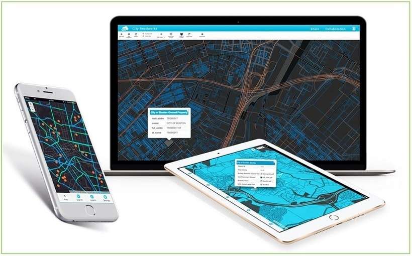


OrbiCollect: Mobile data collection made easier for organizations and individuals!
This will close in 20 seconds