Maxar Intelligence released a new mapping product developed with Ecopia […]
Continue reading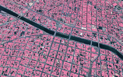
Maxar Intelligence released a new mapping product developed with Ecopia […]
Continue reading
Geocoding is the process of converting textual location information (human-readable […]
Continue reading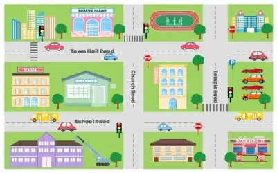
Quantum GIS (QGIS) is an open-source GIS software that allows […]
Continue reading
The land survey profession is a field which involves the […]
Continue reading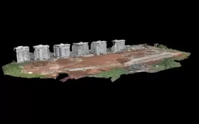
A Digital Surface Model (DSM) is a digital representation of […]
Continue reading
Artificial Intelligence (AI) also known as “machine intelligence” is an […]
Continue reading


OrbiCollect: Mobile data collection made easier for organizations and individuals!
This will close in 20 seconds