
GIS Training of Six (6) Energy Engineers from Energy Ministry, Malawi
During the Months of April - June 2024, Orbital Africa [...] Continue reading


A Bridge Inventory and Management System (BIMS) is a comprehensive […]
Continue reading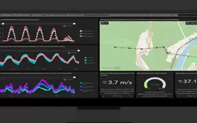
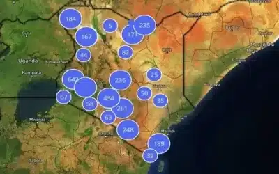
A GIS Incidents Reporting Platform is a software application that […]
Continue reading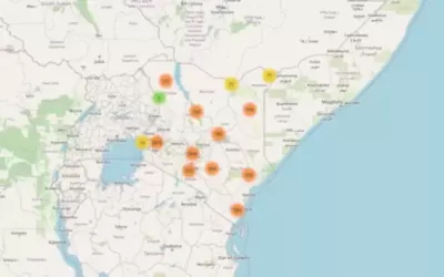
Leaflets is the leading open-source JavaScript library for mobile-friendly interactive […]
Continue reading


OrbiCollect: Mobile data collection made easier for organizations and individuals!
This will close in 20 seconds