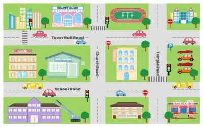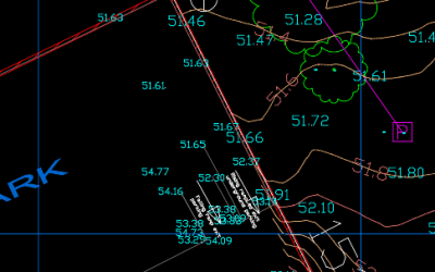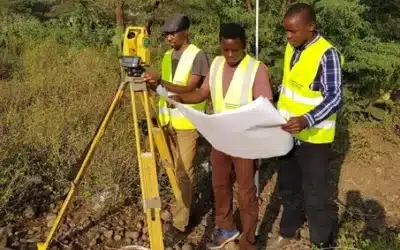
In the recent years, we have witnessed an explosive growth in the demand for mobile GIS data collection. This demand has myriad of sources and takes many forms; however, the net effect is an ever-increasing thirst for geospatial data that is more accurate, up-to-date, has higher density, is produced more rapidly, and is acquired less expensively. Mobile mapping systems (MMS) integrate other navigation and remote sensing technologies which allow mapping from moving platforms (e.g. cars, airplanes, boats, etc.) to obtain the 3D coordinates of the points of interest.
Mobile GIS mapping and data collection has significantly evolved with advancements in the smartphone technology. Smartphones are used in GIS for mapping and data collection as ollows:
Key Components
Smartphones and Tablets: Equipped with high-resolution cameras, GPS, and various sensors (gyroscope, accelerometer), making them suitable for mobile mapping.
GPS and GNSS: Use Global Positioning System (GPS) and Global Navigation Satellite System (GNSS) for accurate location data, essential for mapping.
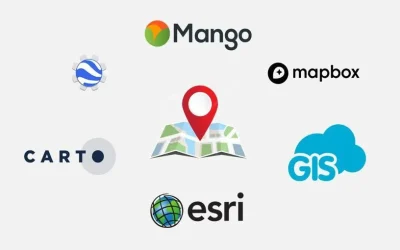
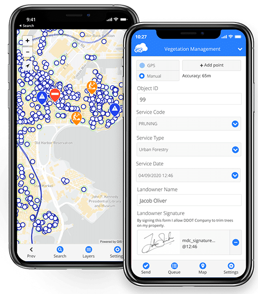
Mobile GIS Apps: Various apps are available for data collection, mapping, and analysis:
- ArcGIS Collector: For collecting and updating data in the field.
- QField: An open-source app integrating with QGIS.
- Survey123: ArcGIS form-based field data collection.
- Avenza Maps: Offline mapping and navigation.
- SurveyCTO: This is the most reliable, secure, and scalable mobile data collection platform for researchers and professionals working in offline settings.
- EpiCollect5: A free and easy-to-use mobile data-gathering platform developed by the CGPS Team of Oxford BDI and publicly available at https://five.epicollect.net
Benefits of GIS Mobile mapping
- Cost-Effective: Reduces the need for expensive equipment and dedicated GPS devices.
- Real-Time Data Collection: Enables immediate data upload and synchronization with cloud-based GIS systems.
- User-Friendly: Intuitive interfaces make it easy for non-experts to collect and manage spatial data.
- Portability: Lightweight and easy to carry, ideal for fieldwork in remote areas.
Applications
- Environmental Monitoring: GIS mobile mapping is applied in tracking changes in ecosystems, wildlife habitats, and pollution levels.
- Urban Planning: Mobile mapping is employed in mapping infrastructure, utilities, and land use to aid in planning and development.
- Disaster Management: In rapid assessment and mapping of affected areas during natural disasters, mobile GIS data is used in realtime reporting of occurance of hazards.
- Agriculture: Mobile GIS data collection is applied in the precision farming, crop monitoring, and land management.
- Infrastructure Management: The collection of realtime GIS data is crucial in inspecting and maintaining road furniture, bridges and other infrastructure.
Steps for Mobile Mapping
- Planning: First, define the project goald and objectives, the required data to b ecollected; and the area to be mapped.
- Data Collection: Use the mobile GIS apps (as indicated above) to gather field data, including GPS coordinates, photos, and feature attribute information.
- Data Upload and Synchronization: Once data is collected, upload it to a central GIS database (in cloud server) or cloud service for data storage and analysis.
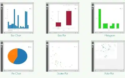
- Data Analysis and Visualization: Utilize GIS software to analyze the collected data and create maps, reports, and visualizations to aid decision making.
- Sharing and Reporting: Share the results with stakeholders through web maps, reports, and dashboards.
Challenges and considerations
- Accuracy: While the smartphone GPS accuracy has improved in recent times, it may still be lower than dedicated GPS devices, especially in areas with poor satellite visibility and reception.
- Battery Life: Intensive use of GPS and mobile apps can drain the battery quickly, requiring power backup solutions.
- Data Security: It is important to ensure the security and privacy of the collected data, especially when dealing with sensitive information.
- Connectivity: In remote areas, lack of internet connectivity can hinder real-time data upload and synchronization.
Example Workflow
Preparation: Choose an appropriate mobile GIS app based on the project requirements. Ensure the smartphone/tablet is fully charged and has necessary accessories (e.g., power bank, external GPS). You can then download base maps and set up forms or templates for data collection.

Field Data Collection: Use the app to capture data points, including GPS coordinates, photos, and attribute data. Employ offline maps if internet connectivity is unavailable.
Data Management: Sync data with the cloud or a central server when connectivity is available. As well, regularly back up data to prevent loss.
Post-Processing and Analysis: Analyze the collected field data using desktop GIS software; create maps, perform spatial analysis, and generate reports.
Sharing Results: Share maps and data through online platforms or print reports for the clients or stakeholders.
By leveraging the capabilities of smartphones and mobile GIS apps, organizations can streamline their data collection processes, enhance accuracy, and improve decision-making in various fields.
Ad: Explore the world with Expedia

Flewflew: AI solutions provider in Africa

OrbiCollect: Mobile mapping made easier!

NSE Stock Market: Buy & Sell Shares

Join Binance and Let us win together!

AGM 6th Edition: Jan-Apr 2025