Welcome you to this issue of Africa Geospatial Magazine (AGM), […]
Continue reading
Welcome you to this issue of Africa Geospatial Magazine (AGM), […]
Continue reading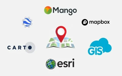
GIS web mapping platforms enable users to create, view, analyze, […]
Continue reading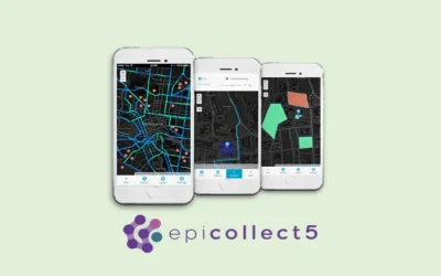
About Epicollect5 Epicollect5 app is a free and versatile data […]
Continue reading
Introduction to QGIS course The customized QGIS applications in telecommunication […]
Continue reading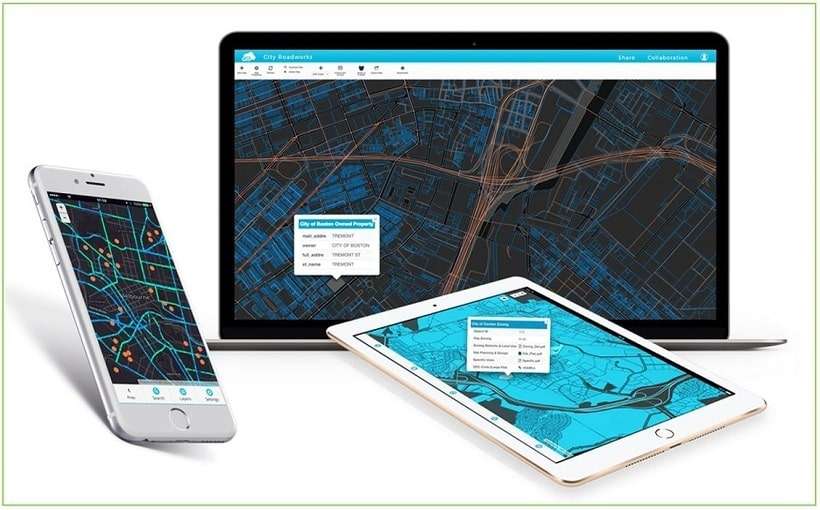

A Bridge Inventory and Management System (BIMS) is a comprehensive […]
Continue reading


OrbiCollect: Mobile data collection made easier for organizations and individuals!
This will close in 20 seconds