The knowledge of climate change impacts is often embedded in multifaceted and multiscaled contexts. The many facets include physical, ecological, and biological factors–as well as social, political, and economic ones–interacting on a spectrum of scales ranging from the individual to the household, the community, the region, the nation, and the world. Such complexities encompass both natural as well as cultural aspects. Hence, assessing the role, impacts and mitigation of climate change requires a comprehensive, integrated approach (https://bit.ly/3uE6vRf).
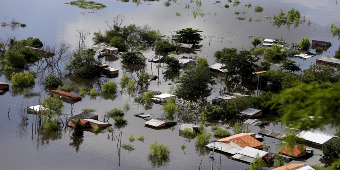
In Kenya, the climate change has significant impacts on weather patterns and climate conditions resulting into El Niño rains in the month of November, affecting various sectors such as agriculture, water resources, and overall environmental sustainability. According to Reuters, severe flooding caused by the El Nino weather phenomenon has killed appoximately 120 people in Kenya, while people in almost 90,000 households have been displaced hence forced to leave their homes.
Temperature Changes: Generally, climate change has led to rising temperatures in Kenya, contributing to increased heatwaves and altered weather patterns. El Niño events, characterized by the warming of sea surface temperatures in the central and eastern equatorial Pacific, has exacerbated these temperature changes. El Niño rains often tend to bring warmer and drier conditions to Eastern Africa region.
Rainfall Patterns: The presence of shifts in the rainfall patterns, potentially resulting in more intense and erratic rainfall events, hence leading to flooding in most parts of Kenya is evident. El Niño currently witnessed has brought cooler-than-average conditions to Kenya, leading to increased rainfall and flooding. This can have severe consequences for agriculture and water borne diseases.
Agriculture Sector: Changes in temperature and rainfall patterns has a huge impact on crop yields and the suitability of certain crops in different regions of Kenya. El Niño-related rains has led to plenty of water hence flloding thereby affecting households and livestock.
Water Resources: The climate change and El Niño can contribute to changes in water availability and quality. Plenty pf rainfall can lead to flooding, affecting both agricultural and domestic water supply. The changes in precipitation patterns may also impact the replenishment of water sources, affecting overall water resources in the region.
Ecological Impact: Shifts in climate conditions can affect ecosystems and biodiversity. Some plant and animal species may struggle to adapt to the changing conditions. Extreme weather events, such as floods and droughts associated with El Niño, can have direct impacts on the ecosystems.
Human Health: Changes in climate can also influence the prevalence of diseases. For example, altered rainfall patterns can affect the breeding and distribution of disease vectors such as mosquitoes. The drought conditions can contribute to waterborne diseases due to water scarcity and compromised water quality.
To address the above challenges, it is essential for Kenya to develop and implement adaptive strategies, including water management practices, agricultural innovations, and policies that promote climate resilience. International collaboration and support are also crucial, given the global nature of climate change and its impacts.
What is the role of GIS and Remote Sensing in Climate Change?
The GIS application model can be utilised to estimate flooding in an area and road network disturbed by flood. The flood analysis model using advanced decision-based rule tree by utilizing Geographic Information System (GIS) software to process thematic data and generate decision tree. Flood modeling (including hydrological process modeling) carried out with various techniques, including rainfall modeling techniques – rain runoff, data-based techniques, and a combination of both Physical modeling techniques are more difficult because of the dynamics of change in water catchment areas. There is a model that requires an understanding of the physical processes occurring in the watershed so that the data-driven approach to the flood model is increasingly explored.
 The theory of machine learning methods can be the primary choice for disaster modeling with data-driven approach. The decision tree method derived from the theory of machine learning is a highly efficient tool for classification and estimation. Unlike other statistical methods, the decision tree methods do not take statistical assumptions, capable of handling data that is represented by the various measurement scale, and it takes short computation time. The use of a Digital Elevation Model (DEM) and water catchment modelling in GIS results in hydrological models and maps that aid in making informed decisions on areas that need immediate evacuation as a result of flooding.
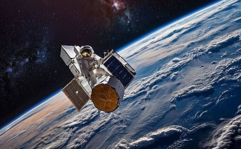
The changes in land use may often have significant effects on infiltration rates, on the water retention capacity of soils, on sub-surface transmissivity and thus on the runoff production. In general, the flood potential of a catchment significantly increases with increased land use changes. The remotely sensed satellite data and temperature data is utilized in the study of impacts of flooding resulting from El Nino menace. The first step of remote sensing data will be through pre-processing, converting digital Numbers (DN) to Land Surface Temperature (LST). Spatial patterns change based on Oceanic Niño Index (ONI) values. The results of the study are important since spatial information is available to those responsible for preparing measures to overcome and reduce the impact of El Niño on the population.


