Introduction to ITS ITS (Intelligent Transportation Systems) has been defined […]
Continue reading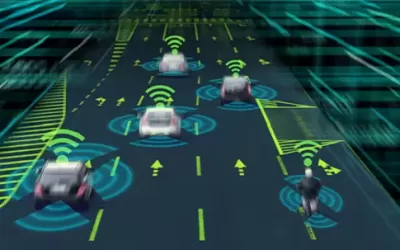
Introduction to ITS ITS (Intelligent Transportation Systems) has been defined […]
Continue reading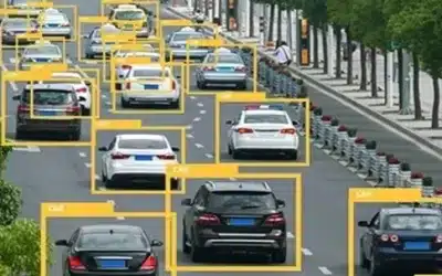
AI-based image recognition is a technology that uses AI to […]
Continue reading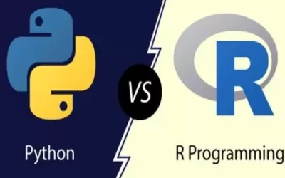
[1.] Python programming Python is one of the most popular, […]
Continue reading
Geographical Information Systems (GIS), remote sensing and mapping play a […]
Continue reading
Technological revolution is here… at last! We’re living in technological […]
Continue reading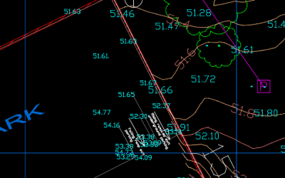
Have you often wondered how to share CAD drawings online? […]
Continue reading
We’ve launched an open e-learning Platform (KEP) [https://e-learning.co.ke] which leverages […]
Continue reading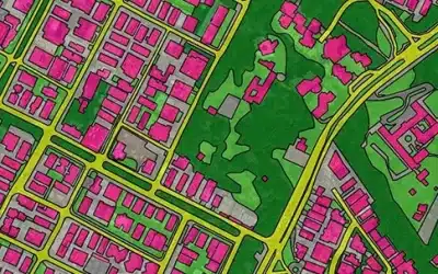
Mapping the world using Global Change Detection AI often involves […]
Continue reading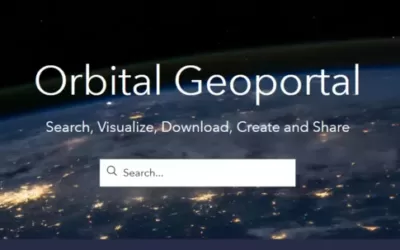
Orbital Geoportal is a GIS -based platform for disseminating open […]
Continue reading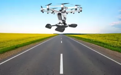
The Hexa eVTOL (electric vertical takeoff and landing) is a […]
Continue reading


OrbiCollect: Mobile data collection made easier for organizations and individuals!
This will close in 20 seconds