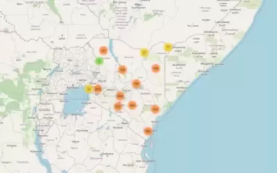
Leaflets is the leading open-source JavaScript library for mobile-friendly interactive […]
Continue readingAll posts by Orbital
Orbital Africa > Articles by: Orbital
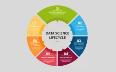
What is Data Science? Delving into basics and applications
Data science is the study of data to extract meaningful […]
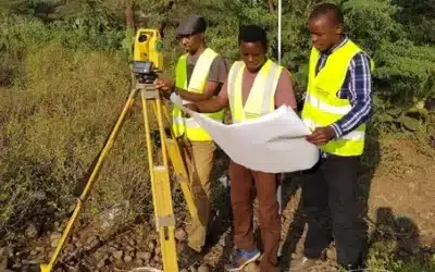
Continue readingProcedure for executing control & topographical survey
The procedure of conducting control and topographical survey involves a […]
Continue readingGeologically, Is Kenya Splitting apart? Suswa-Mai Mahiu road case
In March 2018, a massive crack measuring 15 metres deep […]
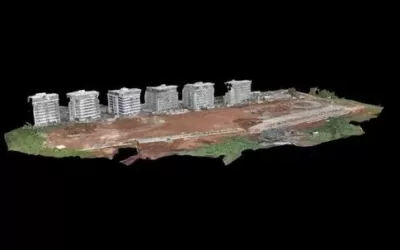
Continue readingComparing Drone and LiDAR Products – DSM and Point Clouds
A Digital Surface Model (DSM) is a digital representation of […]
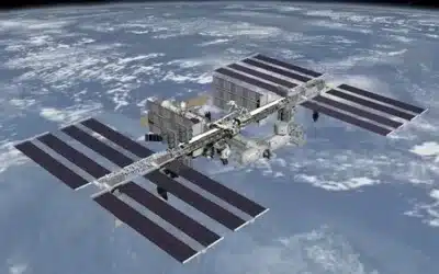
Continue readingThrilling facts about the International Space Station (ISS)
The International Space Station (ISS) is spacecraft capable of supporting [...] Continue reading
Kenya’s Taifa-1 satellite mission launch on 15th April 2023
According to Kenya Space Agency, Taifa-1 Sat is Kenya’s first […]
Continue readingPneumatic Road Tubes or traffic counters for traffic surveys
Pneumatic road tubes (PRT), also known as pneumatic road traffic […]
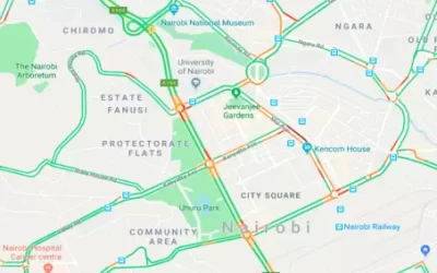
Continue readingGeospatial intelligence with Google maps for traffic navigation
Artificial Intelligence (AI) also known as “machine intelligence” is an […]
Continue readingWelcome to Orbital! A leading Geospatial company in Africa..
Welcome to Orbital Africa! As a premier Geospatial, Geomatics and […]
Continue readingTags
AI
AI Agent
App
Big Data
Bishoftu
Carbon Credits
CC
Chatbots
Climate Change
Data
Drones
Flexflew
GeoAI
Geocoding
GeoICT
Geospatial
GERD
GIS
GIS Training
GPR
Infrastructure
Kenya
Kenya Space Agency
Land Act
LIMS
Mapping
Maps
Mobile Mapping
NASA
Ngong
OrbiCollect
Projects
Python
Quantum computing
R
Satellite
Scanner
Space X
Starlink
Survey
Suswa
Topo Survey
Training
Trends
Virtual Assistant
