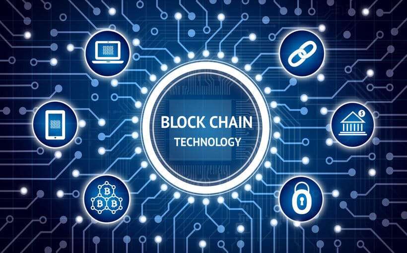
Use of Blockchain in Digitization of Land Records
Introduction Blockchain (BC) is a decentralized digital ledger technology that [...] Continue reading
A Bridge Inventory and Management System (BIMS) is a comprehensive […]
Continue reading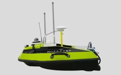
An echosounder, also known as a sonar depth finder, is […]
Continue reading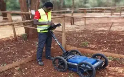
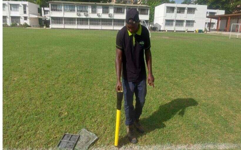
Introduction Ground Penetrating Radar (GPR) is a geophysical method that […]
Continue reading
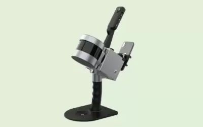
3D scanning is the process of analyzing a real-world object […]
Continue reading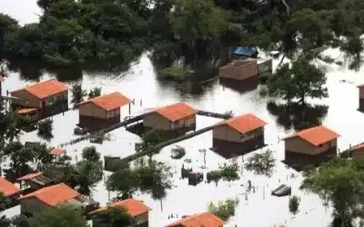
The knowledge of climate change impacts is often embedded in […]
Continue reading
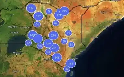
A GIS Incidents Reporting Platform is a software application that […]
Continue reading


OrbiCollect: Mobile data collection made easier for organizations and individuals!
This will close in 20 seconds