The knowledge of climate change impacts is often embedded in […]
Continue reading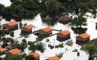
The knowledge of climate change impacts is often embedded in […]
Continue reading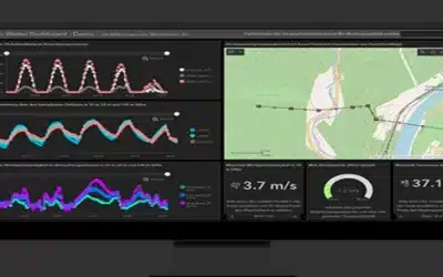
A GIS Incidents Reporting Platform is a software application that […]
Continue reading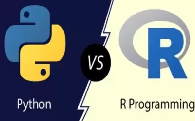
[1.] Python programming Python is one of the most popular, […]
Continue reading
Geographical Information Systems (GIS), remote sensing and mapping play a […]
Continue reading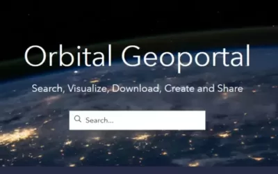
Orbital Geoportal is a GIS -based platform for disseminating open […]
Continue reading
Artificial Intelligence (AI) also known as “machine intelligence” is an […]
Continue reading
Welcome to Orbital Africa! As a premier Geospatial, Geomatics and […]
Continue reading
Ground Control Points Ground control points (GCPs) and check points […]
Continue reading


OrbiCollect: Mobile data collection made easier for organizations and individuals!
This will close in 20 seconds